Channel & Berth Profile
Pilotage, Tugs & Services
Pilotage compulsoryYES
Pilotage availableYES
Tug assistanceYES
Salvage tugsYES
Diesel bunkersNO
MedicalYES
Facilities & Capabilities
Container—
Ro-Ro—
Liquid bulk—
Dry bulk—
Oil terminal—
Break bulk—
Dry dock—
RepairsNO
BunkeringNO
Rail link—
Dangerous cargo—
ISPS security—
Harbour Specifications
Harbour size
Large
Harbour type
Open Roadstead
Shelter
Fair
Water body
Gulf of Mexico; North Atlantic Ocean
Tidal range
0.3 m
Overhead limit
No
Pilotage
Yes
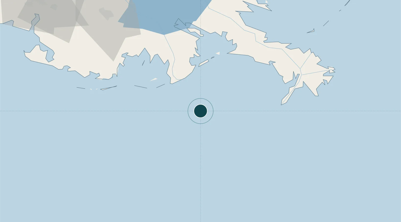
Location
Nearby Logistics Neighbours
Ports
- 1Grand Isle39 km
- 2Port Sulphur74 km
- 3Southwest Pass82 km
- 4Gretna115 km
- 5New Orleans119 km
Cities
- 1Louisiana Offshore Oil Port (Loop)0 km
- 2Port Fourchon29 km
- 3Empire69 km
- 4Port Sulphur73 km
- 5Venice78 km
Airports
Trade Zones
- 1FTZ No. 002 New Orleans117 km
- 2FTZ No. 279 Terrebonne Parish123 km
- 3FTZ No. 124 Gramercy147 km
- 4FTZ No. 092 Harrison County198 km
- 5FTZ No. 154 Baton Rouge210 km
DatabookThe Record of Consolidated Knowledge
United States beyond logistics?