Transport Functions
Port
Road
Hub Profile
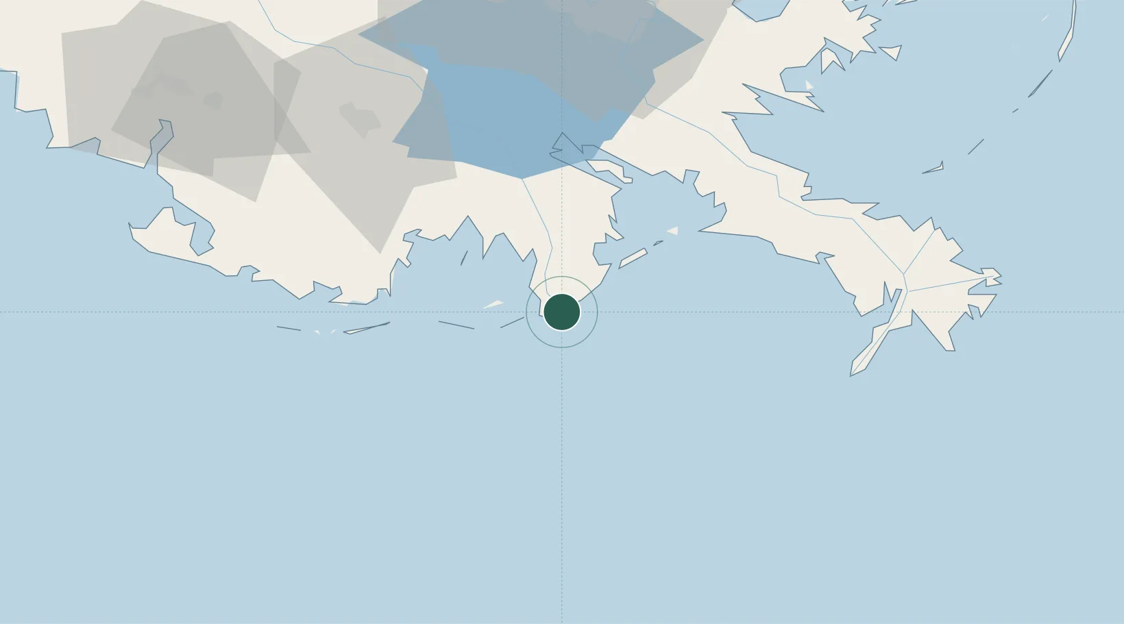
Place type
Populated place
Region
Louisiana
Time zone
America/Chicago
Elevation
0 m
Location
Nearby Logistics Neighbours
Cities
- 1Louisiana Offshore Oil Port (Loop)29 km
- 2Loop Terminal29 km
- 3Cut Off50 km
- 4Port Sulphur63 km
- 5Bourg64 km
Ports
- 1Grand Isle23 km
- 2Loop Terminal29 km
- 3Port Sulphur65 km
- 4Southwest Pass88 km
- 5Gretna92 km
Airports
Trade Zones
- 1FTZ No. 002 New Orleans94 km
- 2FTZ No. 279 Terrebonne Parish99 km
- 3FTZ No. 124 Gramercy118 km
- 4FTZ No. 154 Baton Rouge181 km
- 5FTZ No. 155 Calhoun Victoria Counties181 km
DatabookThe Record of Consolidated Knowledge
United States beyond logistics?