Transport Functions
Port
Rail
Road
Hub Profile
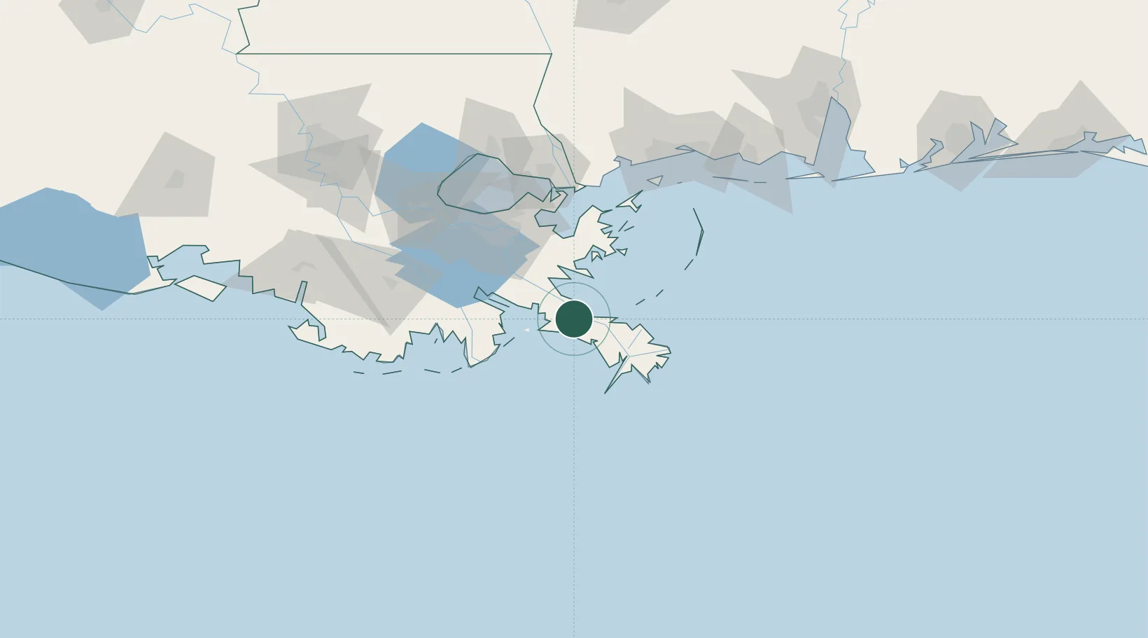
Place type
Populated place
Region
Louisiana
Population
993
Time zone
America/Chicago
Elevation
1 m
Location
Nearby Logistics Neighbours
Cities
- 1Port Sulphur12 km
- 2Venice28 km
- 3Pilottown41 km
- 4Wills Point56 km
- 5Port Eads60 km
Ports
- 1Port Sulphur14 km
- 2Grand Isle42 km
- 3Loop Terminal69 km
- 4Gretna75 km
- 5New Orleans77 km
Airports
Trade Zones
- 1FTZ No. 002 New Orleans76 km
- 2FTZ No. 092 Harrison County130 km
- 3FTZ No. 124 Gramercy131 km
- 4FTZ No. 279 Terrebonne Parish150 km
- 5FTZ No. 154 Baton Rouge198 km
DatabookThe Record of Consolidated Knowledge
United States beyond logistics?