Channel & Berth Profile
Pilotage, Tugs & Services
Pilotage availableNO
Local assistanceYES
Shore powerYES
Potable waterYES
Diesel bunkersYES
MedicalYES
Facilities & Capabilities
Container—
Ro-Ro—
Liquid bulk—
Dry bulk—
Oil terminal—
Break bulk—
Dry dock—
RepairsNO
BunkeringYES
Rail link—
Dangerous cargo—
ISPS security—
Harbour Specifications
Harbour size
Very Small
Harbour type
Coastal (Natural)
Water body
Gulf of Mexico; North Atlantic Ocean
Tidal range
0.3 m
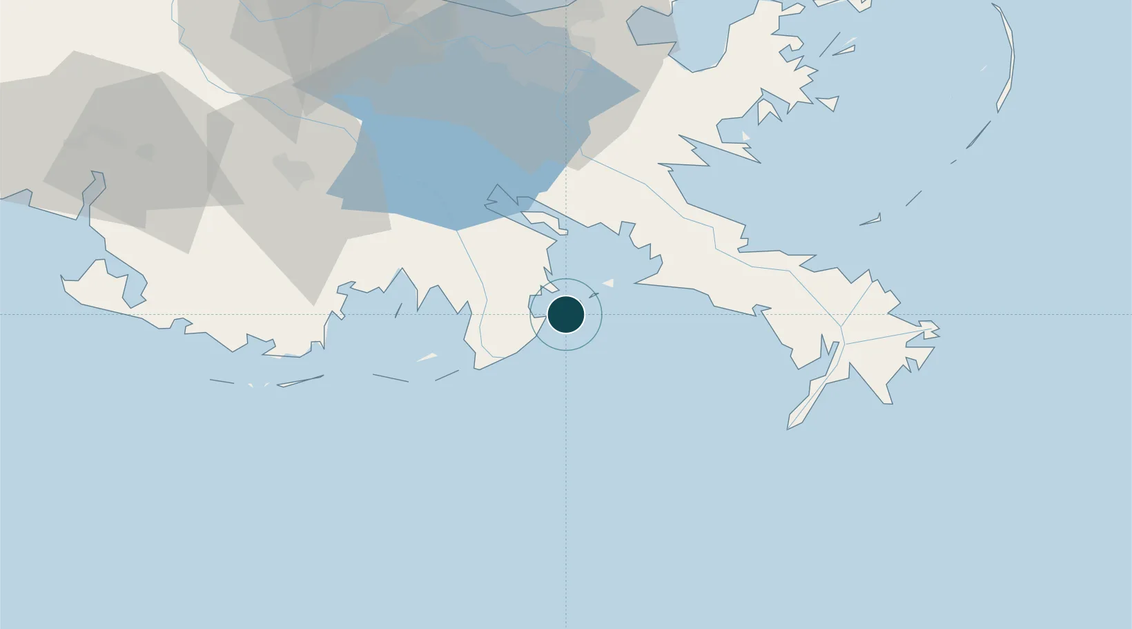
Location
Nearby Logistics Neighbours
Ports
- 1Loop Terminal39 km
- 2Port Sulphur41 km
- 3Gretna76 km
- 4New Orleans80 km
- 5St Rose85 km
Cities
- 1Port Fourchon23 km
- 2Louisiana Offshore Oil Port (Loop)39 km
- 3Loop Terminal39 km
- 4Port Sulphur40 km
- 5Empire42 km
Airports
Trade Zones
- 1FTZ No. 002 New Orleans79 km
- 2FTZ No. 279 Terrebonne Parish112 km
- 3FTZ No. 124 Gramercy115 km
- 4FTZ No. 092 Harrison County165 km
- 5FTZ No. 154 Baton Rouge181 km
DatabookThe Record of Consolidated Knowledge
United States beyond logistics?