Transport Functions
Port
Hub Profile
Place type
Populated place
Region
Louisiana
Population
202
Time zone
America/Chicago
Elevation
0 m
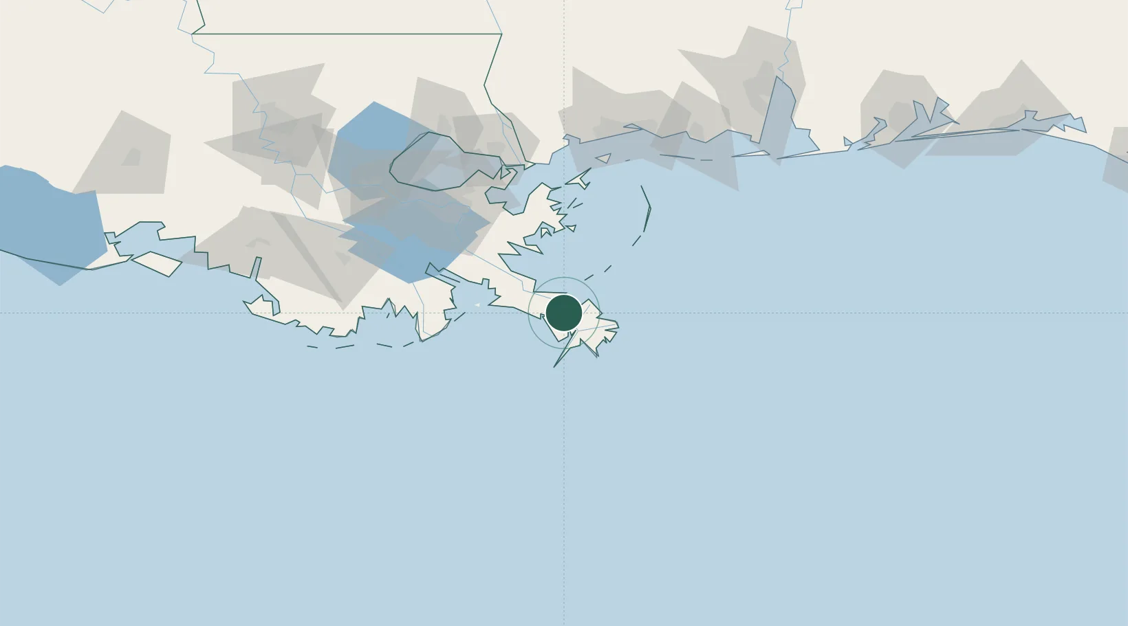
Location
Nearby Logistics Neighbours
Cities
- 1Pilottown13 km
- 2Empire28 km
- 3Port Eads35 km
- 4Port Sulphur39 km
- 5Louisiana Offshore Oil Port (Loop)78 km
Ports
- 1Port Sulphur40 km
- 2Grand Isle63 km
- 3Loop Terminal78 km
- 4Gretna100 km
- 5New Orleans102 km
Airports
Trade Zones
- 1FTZ No. 002 New Orleans102 km
- 2FTZ No. 092 Harrison County133 km
- 3FTZ No. 124 Gramercy159 km
- 4FTZ No. 279 Terrebonne Parish175 km
- 5FTZ No. 082 Mobile199 km
DatabookThe Record of Consolidated Knowledge
United States beyond logistics?