UN/LOCODE hub · United States
USLO8

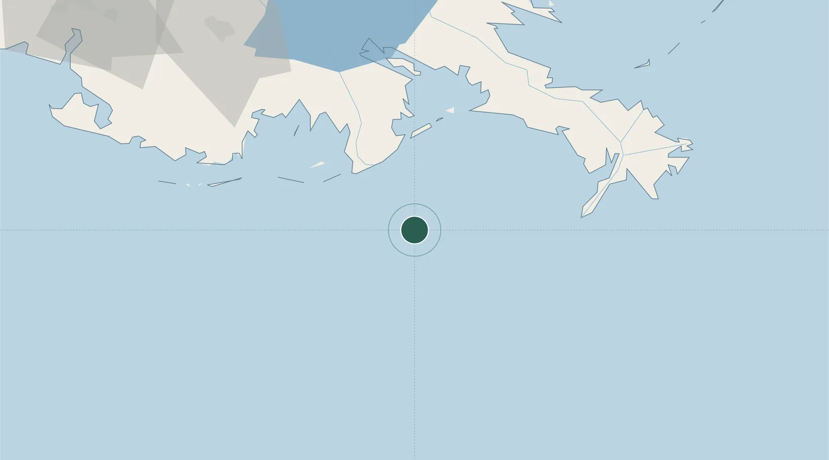
Louisiana Offshore Oil Port (Loop)

28.8833°, -90.0167°
1
Transport functions

Transport Functions

Port
UN/LOCODE

Hub Profile

Region
LA
GeoNames

Location

Location of USLO8
Natural Earth 10m (public domain) · LA · USLO8 · 28.88, -90.02GoogleOSMYandex

Nearby Logistics Neighbours

Cities
  1. 1Loop Terminal0 km
  2. 2Port Fourchon29 km
  3. 3Empire69 km
  4. 4Port Sulphur73 km
  5. 5Venice78 km
Nearest neighbours — logibook spatial index (haversine) over the source coordinates
Ports
  1. 1Loop Terminal0 km
  2. 2Grand Isle39 km
  3. 3Port Sulphur74 km
  4. 4Southwest Pass82 km
  5. 5Gretna115 km
Nearest neighbours — logibook spatial index (haversine) over the source coordinates
Airports
  1. 1New Orleans NAS JRB/Alvin Callender Field105 km
  2. 2Louis Armstrong New Orleans International Airport126 km
  3. 3Lakefront Airport129 km
  4. 4Gulfport Biloxi International Airport192 km
  5. 5Keesler Air Force Base200 km
Nearest neighbours — logibook spatial index (haversine) over the source coordinates
Trade Zones
  1. 1FTZ No. 002 New Orleans117 km
  2. 2FTZ No. 279 Terrebonne Parish123 km
  3. 3FTZ No. 124 Gramercy147 km
  4. 4FTZ No. 092 Harrison County198 km
  5. 5FTZ No. 154 Baton Rouge210 km
Nearest neighbours — logibook spatial index (haversine) over the source coordinates
DatabookThe Record of Consolidated Knowledge
United States beyond logistics?
Browse databook

All Sources

LocationsUN/LOCODE
UN/LOCODE — free
Portsthe NGA World Port Index
Public domain (US gov)
AirportsOurAirports
Public domain
Trade Zonesthe World Bank SEZ database
CC BY 4.0
Trade ZonesOpen Zone Map
CC BY
← United States locations