Channel & Berth Profile
Pilotage, Tugs & Services
Pilotage compulsoryNO
Pilotage availableNO
Tug assistanceNO
Salvage tugsNO
Potable waterYES
Diesel bunkersYES
MedicalYES
Facilities & Capabilities
Container—
Ro-Ro—
Liquid bulk—
Dry bulk—
Oil terminal—
Break bulk—
Dry dock—
RepairsNO
Bunkering—
Rail linkNO
Dangerous cargo—
ISPS security—
Harbour Specifications
Harbour size
Very Small
Harbour type
Coastal (Natural)
Shelter
Good
Water body
Bay of Fundy; North Atlantic Ocean
Tidal range
5.5 m
Overhead limit
No
Pilotage
No
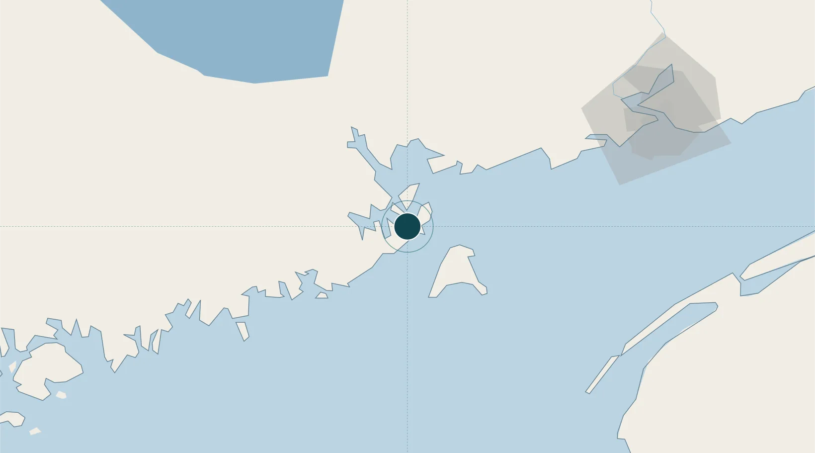
Location
Nearby Logistics Neighbours
Ports
- 1Eastport4 km
- 2Port Bayside Nb34 km
- 3Machiasport38 km
- 4Machias42 km
- 5Jonesport62 km
Cities
- 1Eastport4 km
- 2Deer Island11 km
- 3Edgar12 km
- 4Grand Manan24 km
- 5Saint-George30 km
Airports
- 1Saint John Airport99 km
- 2Digby / Annapolis Regional Airport101 km
- 3Fredericton International Airport117 km
- 4Hancock County-Bar Harbor Airport118 km
- 5Yarmouth Airport136 km
Trade Zones
- 1Saint John85 km
- 2FTZ No. 058 Bangor145 km
- 3FTZ No. 186 Waterville218 km
- 4Halifax Gateway270 km
- 5FTZ No. 263 Auburn270 km
DatabookThe Record of Consolidated Knowledge
United States beyond logistics?