UN/LOCODE hub · United States
USED9

Edgar

44.9167°, -66.8500°
2
Transport functions

Transport Functions

Road
Multimodal
UN/LOCODE

Hub Profile

Place type
Populated place
GeoNames
Region
New Jersey
GeoNames
Time zone
America/New_York
GeoNames
Elevation
13 m
GeoNames

Location

Location of USED9
Natural Earth 10m (public domain) · New Jersey · USED9 · 44.92, -66.85GoogleOSMYandex

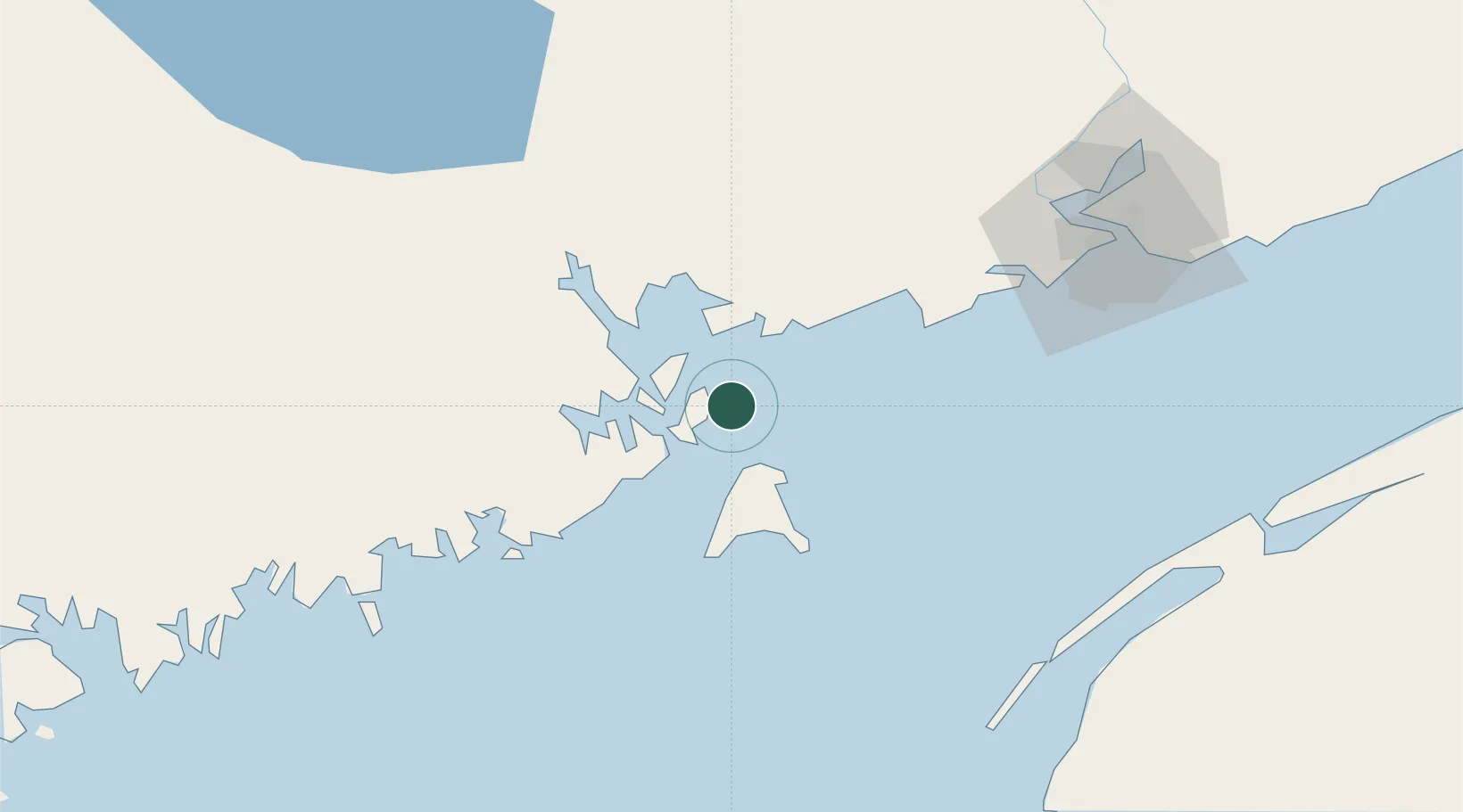
Nearby Logistics Neighbours

Cities
  1. 1Eastport11 km
  2. 2Deer Island11 km
  3. 3Lubec13 km
  4. 4Saint-George22 km
  5. 5Grand Manan24 km
Nearest neighbours — logibook spatial index (haversine) over the source coordinates
Ports
  1. 1Eastport11 km
  2. 2Lubec12 km
  3. 3Port Bayside Nb34 km
  4. 4Machiasport50 km
  5. 5Machias54 km
Nearest neighbours — logibook spatial index (haversine) over the source coordinates
Airports
  1. 1Saint John Airport87 km
  2. 2Digby / Annapolis Regional Airport94 km
  3. 3Fredericton International Airport109 km
  4. 4Hancock County-Bar Harbor Airport130 km
  5. 5Yarmouth Airport136 km
Nearest neighbours — logibook spatial index (haversine) over the source coordinates
Trade Zones
  1. 1Saint John73 km
  2. 2FTZ No. 058 Bangor156 km
  3. 3FTZ No. 186 Waterville229 km
  4. 4Halifax Gateway260 km
  5. 5FTZ No. 263 Auburn282 km
Nearest neighbours — logibook spatial index (haversine) over the source coordinates
DatabookThe Record of Consolidated Knowledge
United States beyond logistics?
Browse databook

All Sources

LocationsUN/LOCODE
UN/LOCODE — free
Portsthe NGA World Port Index
Public domain (US gov)
AirportsOurAirports
Public domain
Trade Zonesthe World Bank SEZ database
CC BY 4.0
Trade ZonesOpen Zone Map
CC BY
← United States locations