Transport Functions
Port
Road
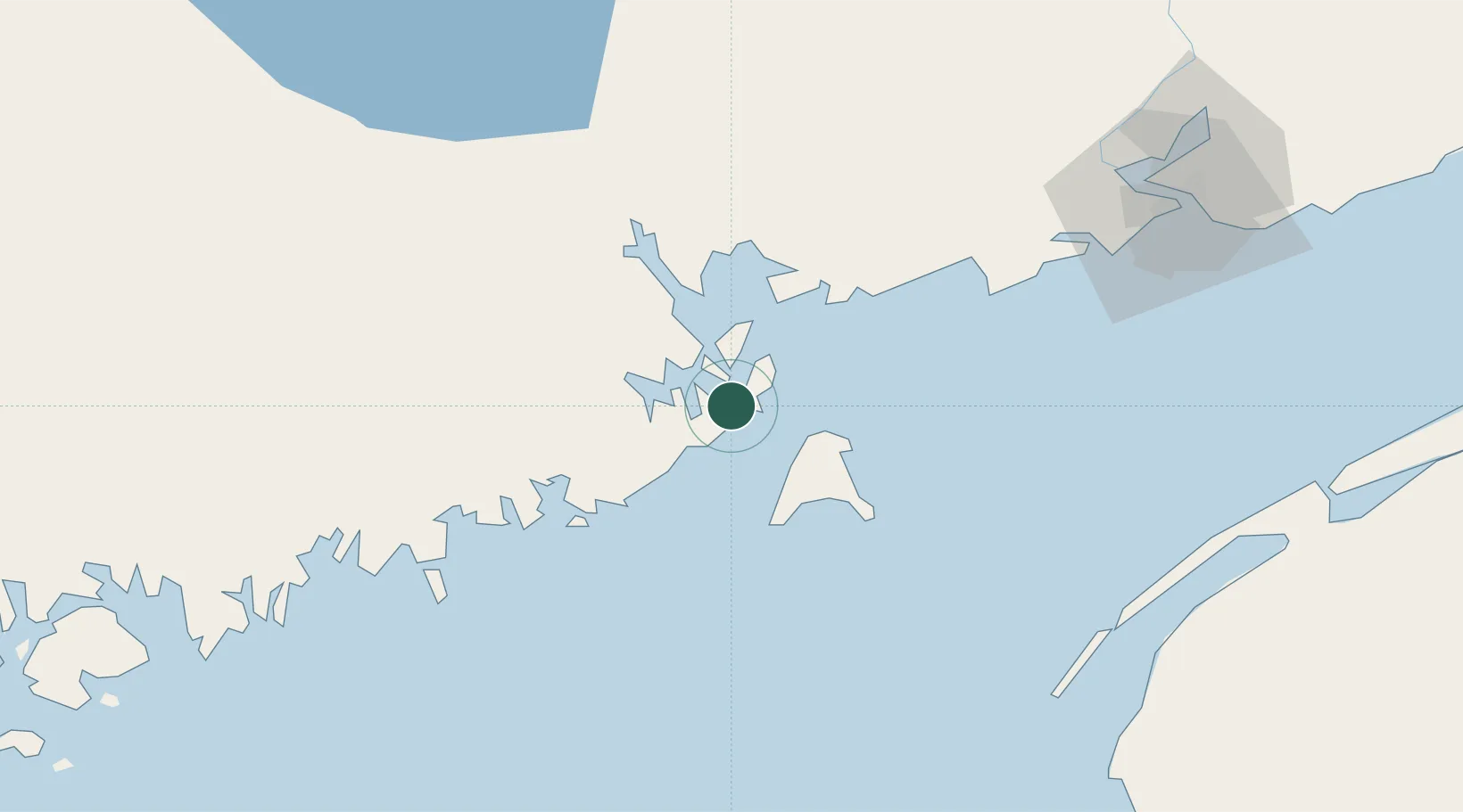
Hub Profile
Place type
Populated place
Region
Maine
Population
349
Time zone
America/New_York
Elevation
9 m
Location
Nearby Logistics Neighbours
Cities
- 1Eastport6 km
- 2Edgar13 km
- 3Deer Island13 km
- 4Grand Manan22 km
- 5Saint-George32 km
Ports
- 1Eastport6 km
- 2Port Bayside Nb35 km
- 3Machiasport37 km
- 4Machias41 km
- 5Jonesport61 km
Airports
- 1Saint John Airport100 km
- 2Digby / Annapolis Regional Airport101 km
- 3Hancock County-Bar Harbor Airport118 km
- 4Fredericton International Airport119 km
- 5Yarmouth Airport134 km
Trade Zones
- 1Saint John86 km
- 2FTZ No. 058 Bangor145 km
- 3FTZ No. 186 Waterville217 km
- 4FTZ No. 263 Auburn269 km
- 5Halifax Gateway269 km
DatabookThe Record of Consolidated Knowledge
United States beyond logistics?