UN/LOCODE hub · Canada
CASGE

Saint-George

45.1167°, -66.8333°
2
Transport functions

Transport Functions

Rail
Road
UN/LOCODE

Hub Profile

Region
NB
GeoNames

Location

Location of CASGE
Natural Earth 10m (public domain) · NB · CASGE · 45.12, -66.83GoogleOSMYandex

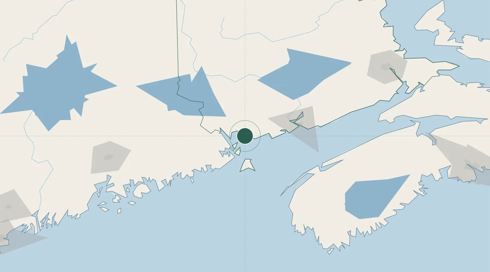
Nearby Logistics Neighbours

Cities
  1. 1Deer Island20 km
  2. 2Edgar22 km
  3. 3Bayside, Charlotte22 km
  4. 4Eastport27 km
  5. 5Lubec32 km
Nearest neighbours — logibook spatial index (haversine) over the source coordinates
Ports
  1. 1Port Bayside Nb24 km
  2. 2Eastport27 km
  3. 3Lubec30 km
  4. 4St John64 km
  5. 5Machiasport64 km
Nearest neighbours — logibook spatial index (haversine) over the source coordinates
Airports
  1. 1Saint John Airport77 km
  2. 2Fredericton International Airport87 km
  3. 3Digby / Annapolis Regional Airport104 km
  4. 4Houlton International Airport135 km
  5. 5Hancock County-Bar Harbor Airport142 km
Nearest neighbours — logibook spatial index (haversine) over the source coordinates
Trade Zones
  1. 1Saint John63 km
  2. 2FTZ No. 058 Bangor160 km
  3. 3FTZ No. 186 Waterville235 km
  4. 4Halifax Gateway261 km
  5. 5FTZ No. 179 Madawaska267 km
Nearest neighbours — logibook spatial index (haversine) over the source coordinates
DatabookThe Record of Consolidated Knowledge
Canada beyond logistics?
Browse databook

All Sources

LocationsUN/LOCODE
UN/LOCODE — free
Portsthe NGA World Port Index
Public domain (US gov)
AirportsOurAirports
Public domain
Trade Zonesthe World Bank SEZ database
CC BY 4.0
Trade ZonesOpen Zone Map
CC BY
← Canada locations