UN/LOCODE hub · United States
USEPM
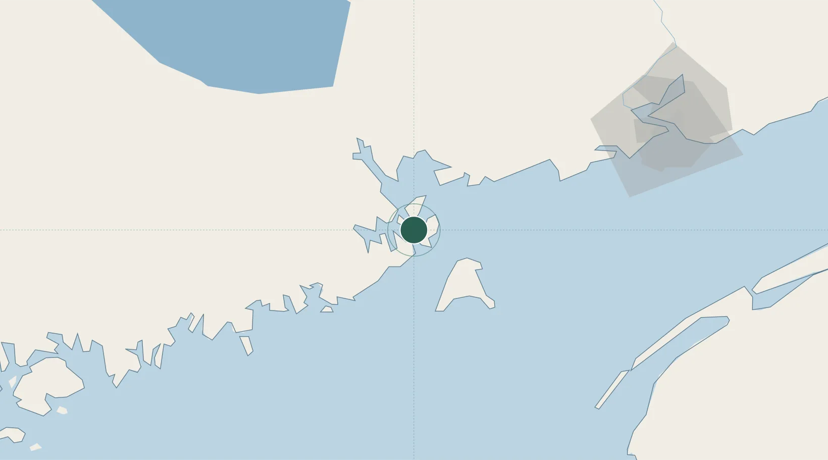
Eastport
44.9000°, -66.9833°
1,266
Population
1
Transport functions
Transport Functions
Port
Hub Profile
Place type
Populated place
Region
Maine
Population
1,266
Time zone
America/New_York
Elevation
32 m
Location
Nearby Logistics Neighbours
Cities
- 1Lubec6 km
- 2Deer Island8 km
- 3Edgar11 km
- 4Grand Manan27 km
- 5Saint-George27 km
Ports
- 1Lubec4 km
- 2Port Bayside Nb30 km
- 3Machiasport40 km
- 4Machias43 km
- 5Jonesport65 km
Airports
- 1Saint John Airport98 km
- 2Digby / Annapolis Regional Airport103 km
- 3Fredericton International Airport113 km
- 4Hancock County-Bar Harbor Airport120 km
- 5Yarmouth Airport139 km
Trade Zones
- 1Saint John83 km
- 2FTZ No. 058 Bangor145 km
- 3FTZ No. 186 Waterville218 km
- 4Halifax Gateway270 km
- 5FTZ No. 263 Auburn271 km
DatabookThe Record of Consolidated Knowledge
United States beyond logistics?