Channel & Berth Profile
Pilotage, Tugs & Services
Pilotage compulsoryYES
Tug assistanceYES
Salvage tugsNO
Shore powerYES
Potable waterYES
Diesel bunkersYES
MedicalYES
Facilities & Capabilities
Container—
Ro-Ro—
Liquid bulk—
Dry bulk—
Oil terminal—
Break bulk—
Dry dock—
RepairsNO
BunkeringYES
Rail linkNO
Dangerous cargo—
ISPS security—
Harbour Specifications
Harbour size
Very Small
Harbour type
Coastal (Natural)
Shelter
Fair
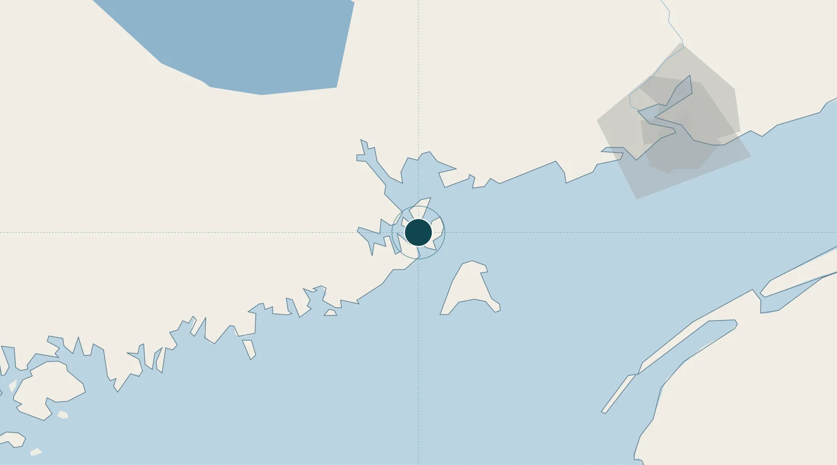
Water body
Bay of Fundy; North Atlantic Ocean
Tidal range
5.5 m
Overhead limit
No
Pilotage
Yes
Location
Nearby Logistics Neighbours
Ports
- 1Lubec4 km
- 2Port Bayside Nb30 km
- 3Machiasport40 km
- 4Machias43 km
- 5Jonesport65 km
Cities
- 1Lubec6 km
- 2Deer Island8 km
- 3Edgar11 km
- 4Grand Manan27 km
- 5Saint-George27 km
Airports
- 1Saint John Airport98 km
- 2Digby / Annapolis Regional Airport103 km
- 3Fredericton International Airport113 km
- 4Hancock County-Bar Harbor Airport120 km
- 5Yarmouth Airport139 km
Trade Zones
- 1Saint John83 km
- 2FTZ No. 058 Bangor145 km
- 3FTZ No. 186 Waterville218 km
- 4Halifax Gateway270 km
- 5FTZ No. 263 Auburn271 km
DatabookThe Record of Consolidated Knowledge
United States beyond logistics?