UN/LOCODE hub · Canada
CAGMA

Grand Manan

44.7000°, -66.8000°
2
Transport functions

Transport Functions

Port
Road
UN/LOCODE

Hub Profile

Place type
Populated place
GeoNames
Region
New Brunswick
GeoNames
Time zone
America/Moncton
GeoNames
Elevation
96 m
GeoNames

Location

Location of CAGMA
Natural Earth 10m (public domain) · New Brunswick · CAGMA · 44.70, -66.80GoogleOSMYandex

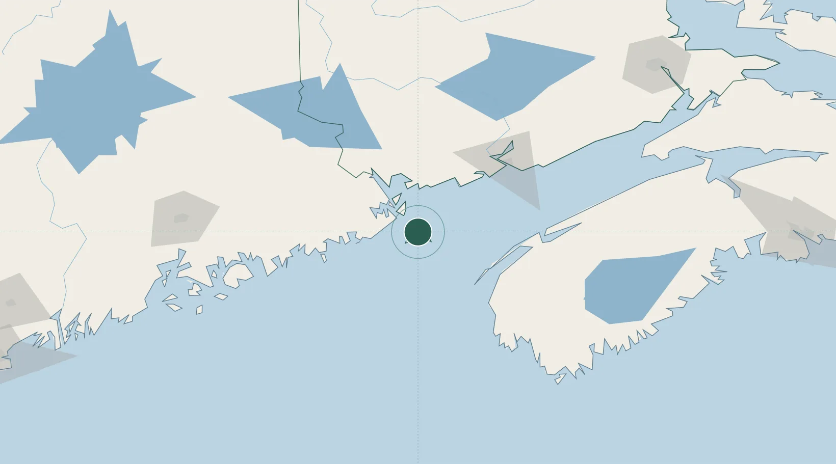
Nearby Logistics Neighbours

Cities
  1. 1Lubec22 km
  2. 2Edgar24 km
  3. 3Eastport27 km
  4. 4Deer Island32 km
  5. 5East Machias46 km
Nearest neighbours — logibook spatial index (haversine) over the source coordinates
Ports
  1. 1Lubec24 km
  2. 2Eastport27 km
  3. 3Machiasport47 km
  4. 4Machias53 km
  5. 5Port Bayside Nb57 km
Nearest neighbours — logibook spatial index (haversine) over the source coordinates
Airports
  1. 1Digby / Annapolis Regional Airport82 km
  2. 2Saint John Airport99 km
  3. 3Yarmouth Airport112 km
  4. 4Hancock County-Bar Harbor Airport127 km
  5. 5Fredericton International Airport132 km
Nearest neighbours — logibook spatial index (haversine) over the source coordinates
Trade Zones
  1. 1Saint John86 km
  2. 2FTZ No. 058 Bangor160 km
  3. 3FTZ No. 186 Waterville230 km
  4. 4Halifax Gateway254 km
  5. 5FTZ No. 263 Auburn279 km
Nearest neighbours — logibook spatial index (haversine) over the source coordinates
DatabookThe Record of Consolidated Knowledge
Canada beyond logistics?
Browse databook

All Sources

LocationsUN/LOCODE
UN/LOCODE — free
Portsthe NGA World Port Index
Public domain (US gov)
AirportsOurAirports
Public domain
Trade Zonesthe World Bank SEZ database
CC BY 4.0
Trade ZonesOpen Zone Map
CC BY
← Canada locations