Medium airport · Canada

Fredericton International AirportCYFC
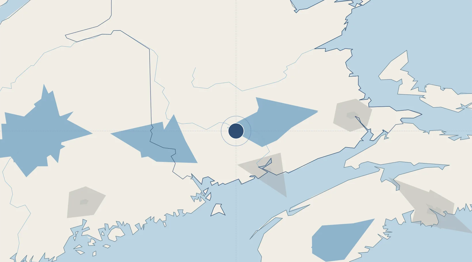
45.8687°, -66.5299°
8,005 ft
Longest runway
2
Runways
68 ft
Elevation

Runway & Layout

Fredericton International Airport runway & taxiway layout
Runway & taxiway layout — OpenStreetMap (ODbL) / OurAirports

Radio Frequencies

A/G
119 MHz
MF
CNTR
124.3 MHz
MONCTON CNTR
RDO
119 MHz
OurAirports

Navaids

FC NDB Fredericton 326 kHz
IDC DME Fredericton 111.30 MHz
YFC VORTAC Fredericton 113.00 MHz
OurAirports

Runways · 2

RunwayDimensions SurfaceTrue headingLit
09/27 8,005 × 200ft Asphalt 071°
15/33 6,000 × 148ft Asphalt 131°
OurAirports

Airport Specifications

IATA code
YFC
OurAirports
ICAO code
CYFC
OurAirports
Airport class
Medium airport
OurAirports
Scheduled service
Yes
OurAirports
Runway surface
Asphalt
OurAirports
Served city
Fredericton
OurAirports

Location

Location of CYFC
Natural Earth 10m (public domain) · New Brunswick · CYFC · 45.87, -66.53GoogleOSMYandex

Nearby Logistics Neighbours

Airports
  1. 1Saint John Airport79 km
  2. 2Houlton International Airport102 km
  3. 3Greater Moncton Roméo LeBlanc International Airport146 km
  4. 4Presque Isle International Airport148 km
  5. 5Miramichi Airport151 km
Nearest neighbours — logibook spatial index (haversine) over the source coordinates
Cities
  1. 1Oromocto7 km
  2. 2Fredericton13 km
  3. 3Quispamsis17 km
  4. 4Jemseg34 km
  5. 5Harvey Station40 km
Nearest neighbours — logibook spatial index (haversine) over the source coordinates
Ports
  1. 1St John77 km
  2. 2Canaport (St. John)86 km
  3. 3Port Bayside Nb93 km
  4. 4Eastport113 km
  5. 5Lubec117 km
Nearest neighbours — logibook spatial index (haversine) over the source coordinates
Trade Zones
  1. 1Saint John75 km
  2. 2FTZ No. 179 Madawaska209 km
  3. 3FTZ No. 058 Bangor214 km
  4. 4Halifax Gateway267 km
  5. 5FTZ No. 186 Waterville289 km
Nearest neighbours — logibook spatial index (haversine) over the source coordinates
DatabookThe Record of Consolidated Knowledge
Canada beyond logistics?
Browse databook

All Sources

AirportsOurAirports
Public domain
Portsthe NGA World Port Index
Public domain (US gov)
LocationsUN/LOCODE
UN/LOCODE — free
Trade Zonesthe World Bank SEZ database
CC BY 4.0
Trade ZonesOpen Zone Map
CC BY
InfrastructureOpenStreetMap
ODbL 1.0
← Canada airports