Medium airport · Canada
Yarmouth AirportCYQI
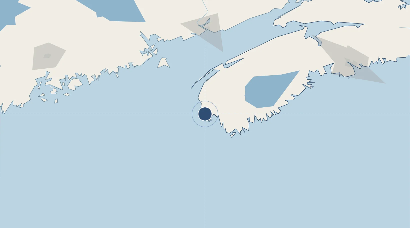
43.8269°, -66.0881°
6,000 ft
Longest runway
2
Runways
141 ft
Elevation
Runway & Layout

Radio Frequencies
A/G
123 MHz
MF
CNTR
123.9 MHz
MONCTON CNTR
Navaids
AC NDB Pleasant Lake 230 kHz
QI NDB Yarmouth 206 kHz
YQI VOR-DME Yarmouth 113.30 MHz
Runways · 2
| Runway | Dimensions | Surface | True heading | Lit |
|---|---|---|---|---|
| 06/24 | 6,000 × 150ft | Asphalt | 042° | ✓ |
| 15/33 | 5,000 × 150ft | Asphalt | 133° | ✓ |
Airport Specifications
IATA code
YQI
ICAO code
CYQI
Airport class
Medium airport
Scheduled service
No
Runway surface
Asphalt
Served city
Yarmouth
Location
Nearby Logistics Neighbours
Airports
- 1Digby / Annapolis Regional Airport84 km
- 2CFB Greenwood159 km
- 3Saint John Airport166 km
- 4Hancock County-Bar Harbor Airport194 km
- 5Vinalhaven Airport220 km
Cities
- 1Chebogue Point9 km
- 2Lower Argyle23 km
- 3Lower East Pubnico36 km
- 4Lower Woods Harbour45 km
- 5Barrington51 km
Ports
- 1Digby92 km
- 2Liverpool (Brooklyn)117 km
- 3Lubec136 km
- 4Eastport139 km
- 5Machiasport143 km
Trade Zones
- 1Saint John161 km
- 2Halifax Gateway220 km
- 3FTZ No. 058 Bangor243 km
- 4FTZ No. 186 Waterville299 km
- 5FTZ No. 263 Auburn331 km
DatabookThe Record of Consolidated Knowledge
Canada beyond logistics?