Medium airport · Canada

Saint John AirportCYSJ

45.3161°, -65.8903°
7,000 ft
Longest runway
2
Runways
357 ft
Elevation

Runway & Layout

Saint John Airport runway & taxiway layout
Runway & taxiway layout — OpenStreetMap (ODbL) / OurAirports

Radio Frequencies

A/G
118.5 MHz
MF
CNTR
124.3 MHz
MONCTON CNTR
RDO
118.5 MHz
OurAirports

Navaids

SJ NDB Saint John 212 kHz
YSJ VOR-DME Saint John 113.50 MHz
ZST NDB Alpine 397 kHz
OurAirports

Runways · 2

RunwayDimensions SurfaceTrue headingLit
05/23 7,000 × 200ft Asphalt 030°
14/32 5,100 × 200ft Asphalt 121°
OurAirports

Airport Specifications

IATA code
YSJ
OurAirports
ICAO code
CYSJ
OurAirports
Airport class
Medium airport
OurAirports
Scheduled service
Yes
OurAirports
Runway surface
Asphalt
OurAirports
Served city
Saint John
OurAirports

Location

Location of CYSJ
Natural Earth 10m (public domain) · New Brunswick · CYSJ · 45.32, -65.89GoogleOSMYandex

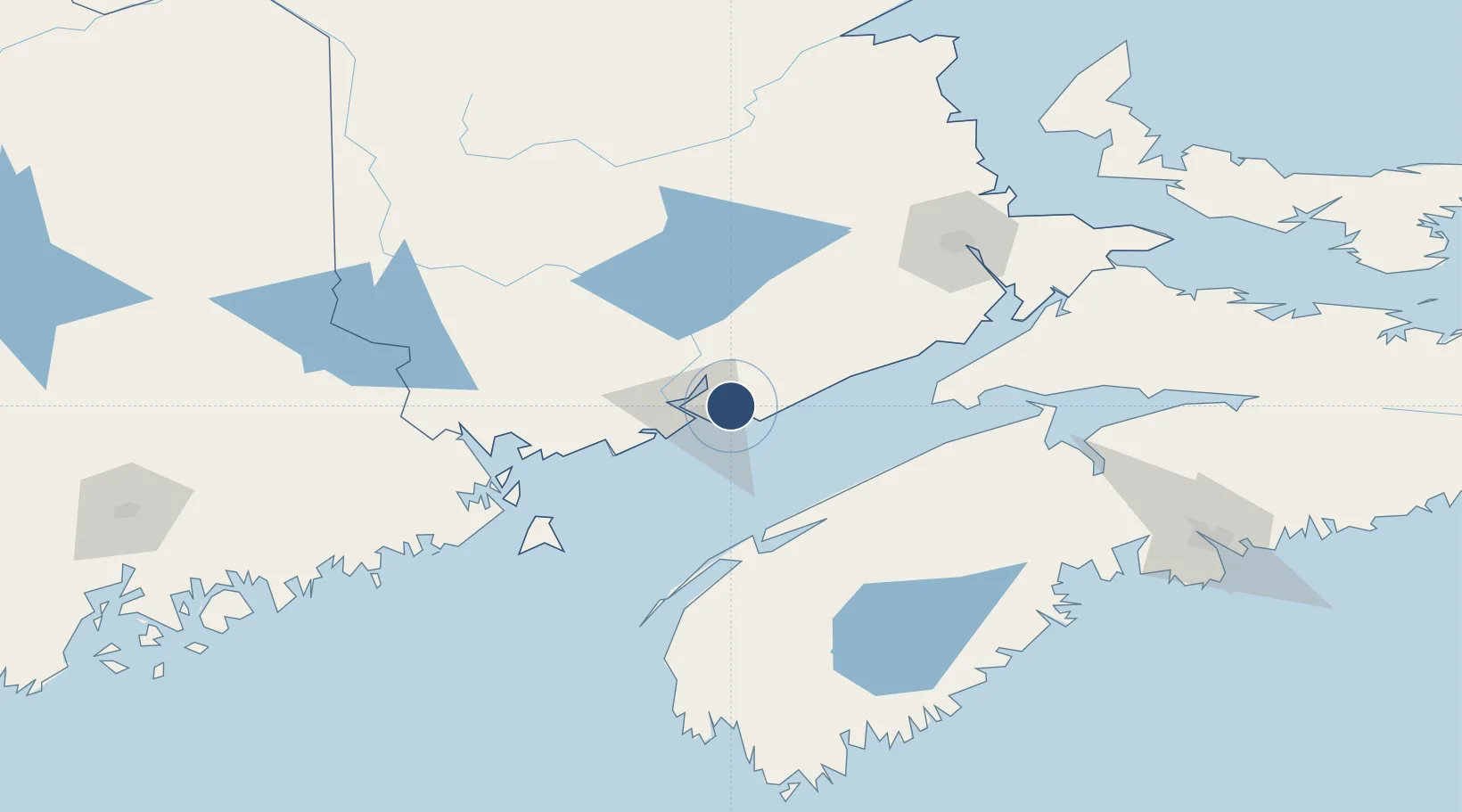
Nearby Logistics Neighbours

Airports
  1. 1Fredericton International Airport79 km
  2. 2CFB Greenwood85 km
  3. 3Digby / Annapolis Regional Airport86 km
  4. 4Greater Moncton Roméo LeBlanc International Airport129 km
  5. 5Yarmouth Airport166 km
Nearest neighbours — logibook spatial index (haversine) over the source coordinates
Cities
  1. 1Colchester County8 km
  2. 2Saint-John15 km
  3. 3Jemseg58 km
  4. 4Penobsquis65 km
  5. 5Quispamsis69 km
Nearest neighbours — logibook spatial index (haversine) over the source coordinates
Ports
  1. 1St John14 km
  2. 2Canaport (St. John)15 km
  3. 3Digby78 km
  4. 4Eastport98 km
  5. 5Port Bayside Nb99 km
Nearest neighbours — logibook spatial index (haversine) over the source coordinates
Trade Zones
  1. 1Saint John15 km
  2. 2Halifax Gateway196 km
  3. 3FTZ No. 058 Bangor237 km
  4. 4FTZ No. 179 Madawaska288 km
  5. 5FTZ No. 186 Waterville312 km
Nearest neighbours — logibook spatial index (haversine) over the source coordinates
DatabookThe Record of Consolidated Knowledge
Canada beyond logistics?
Browse databook

All Sources

AirportsOurAirports
Public domain
Portsthe NGA World Port Index
Public domain (US gov)
LocationsUN/LOCODE
UN/LOCODE — free
Trade Zonesthe World Bank SEZ database
CC BY 4.0
Trade ZonesOpen Zone Map
CC BY
InfrastructureOpenStreetMap
ODbL 1.0
← Canada airports