UN/LOCODE hub · Canada
CADEI

Deer Island

44.9667°, -66.9667°
1
Transport functions

Transport Functions

Port
UN/LOCODE

Hub Profile

Region
NB
GeoNames

Location

Location of CADEI
Natural Earth 10m (public domain) · NB · CADEI · 44.97, -66.97GoogleOSMYandex

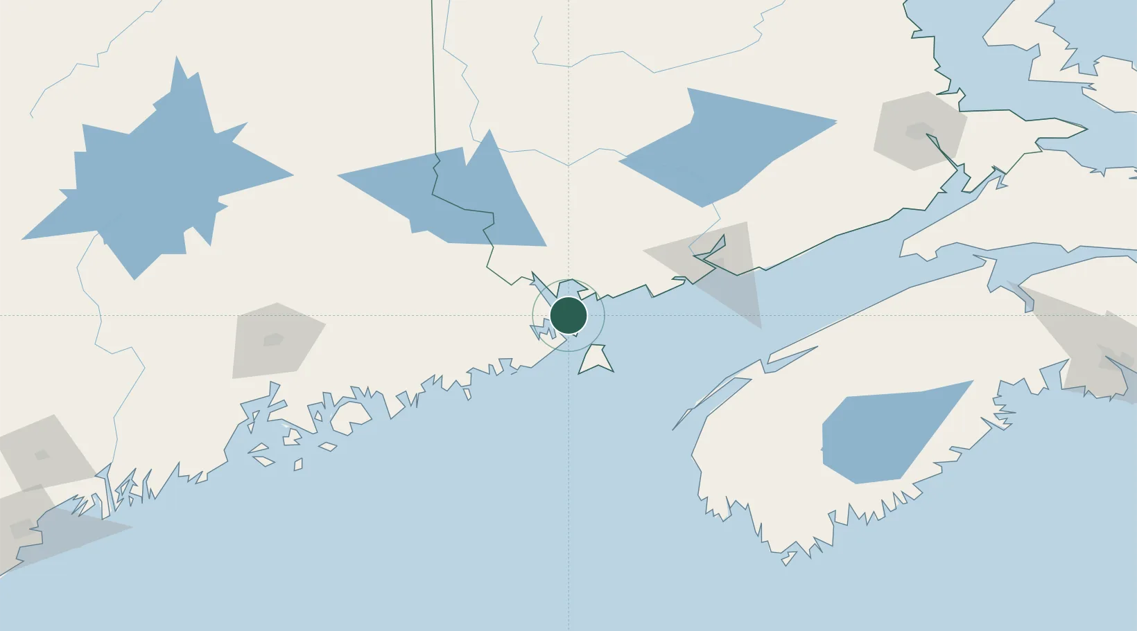
Nearby Logistics Neighbours

Cities
  1. 1Eastport8 km
  2. 2Edgar11 km
  3. 3Lubec13 km
  4. 4Saint-George20 km
  5. 5Bayside, Charlotte22 km
Nearest neighbours — logibook spatial index (haversine) over the source coordinates
Ports
  1. 1Eastport8 km
  2. 2Lubec11 km
  3. 3Port Bayside Nb24 km
  4. 4Machiasport45 km
  5. 5Machias48 km
Nearest neighbours — logibook spatial index (haversine) over the source coordinates
Airports
  1. 1Saint John Airport93 km
  2. 2Digby / Annapolis Regional Airport104 km
  3. 3Fredericton International Airport106 km
  4. 4Hancock County-Bar Harbor Airport124 km
  5. 5Houlton International Airport144 km
Nearest neighbours — logibook spatial index (haversine) over the source coordinates
Trade Zones
  1. 1Saint John78 km
  2. 2FTZ No. 058 Bangor147 km
  3. 3FTZ No. 186 Waterville221 km
  4. 4Halifax Gateway269 km
  5. 5FTZ No. 263 Auburn275 km
Nearest neighbours — logibook spatial index (haversine) over the source coordinates
DatabookThe Record of Consolidated Knowledge
Canada beyond logistics?
Browse databook

All Sources

LocationsUN/LOCODE
UN/LOCODE — free
Portsthe NGA World Port Index
Public domain (US gov)
AirportsOurAirports
Public domain
Trade Zonesthe World Bank SEZ database
CC BY 4.0
Trade ZonesOpen Zone Map
CC BY
← Canada locations