Medium airport · United States
Kodiak AirportPADQ
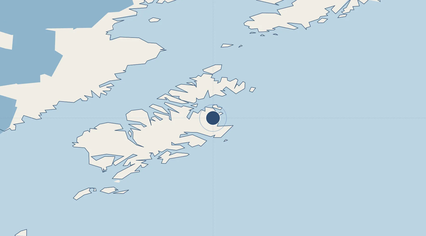
57.7500°, -152.4940°
7,534 ft
Longest runway
3
Runways
78 ft
Elevation
Runway & Layout

Radio Frequencies
ATIS
135.5 MHz
TWR
119.8 MHz
GND
121.9 MHz
CTAF
119.8 MHz
A/D
125.1 MHz
ANCHORAGE CNTR
FSS
119.8 MHz
KENAI RDO
MISC
117.1 MHz
TWEB
OPS
156.8 MHz
RFSS
122.2 MHz
KENAI RDO
UNIC
122.8 MHz
UNICOM
Navaids
ODK VORTAC Kodiak 117.10 MHz
RWO NDB Woody Island 394 kHz
Runways · 3
| Runway | Dimensions | Surface | True heading | Lit |
|---|---|---|---|---|
| 08/26 | 7,534 × 150ft | Asphalt | 092° | ✓ |
| 11/29 | 5,400 × 150ft | Asphalt | 127° | ✓ |
| 01/19 | 5,010 × 150ft | Asphalt | 022° | ✓ |
Airport Specifications
IATA code
ADQ
ICAO code
PADQ
Airport class
Medium airport
Scheduled service
Yes
Runway surface
Asphalt
Served city
Kodiak
Location
Nearby Logistics Neighbours
Airports
- 1Ouzinkie Airport21 km
- 2Port Lions Airport26 km
- 3Port Bailey Seaplane Base38 km
- 4San Juan /Uganik/ Seaplane Base49 km
- 5Kitoi Bay Seaplane Base50 km
Cities
- 1Afognak32 km
- 2Kaguyak125 km
- 3Jakolof Bay197 km
- 4Anchorage415 km
- 5Port MacKenzie417 km
Ports
- 1Kodiak7 km
- 2Ouzinkie19 km
- 3Mccord79 km
- 4Port William82 km
- 5Uyak90 km
Trade Zones
- 1FTZ No. 232 Kodiak77 km
- 2FTZ No. 160 Anchorage415 km
- 3FTZ No. 108 Valdez511 km
- 4FTZ No. 195 Fairbanks829 km
- 5PrInce George Logistics Park1889 km
DatabookThe Record of Consolidated Knowledge
United States beyond logistics?