Small airport · United States
Nunam Iqua AirportSXP
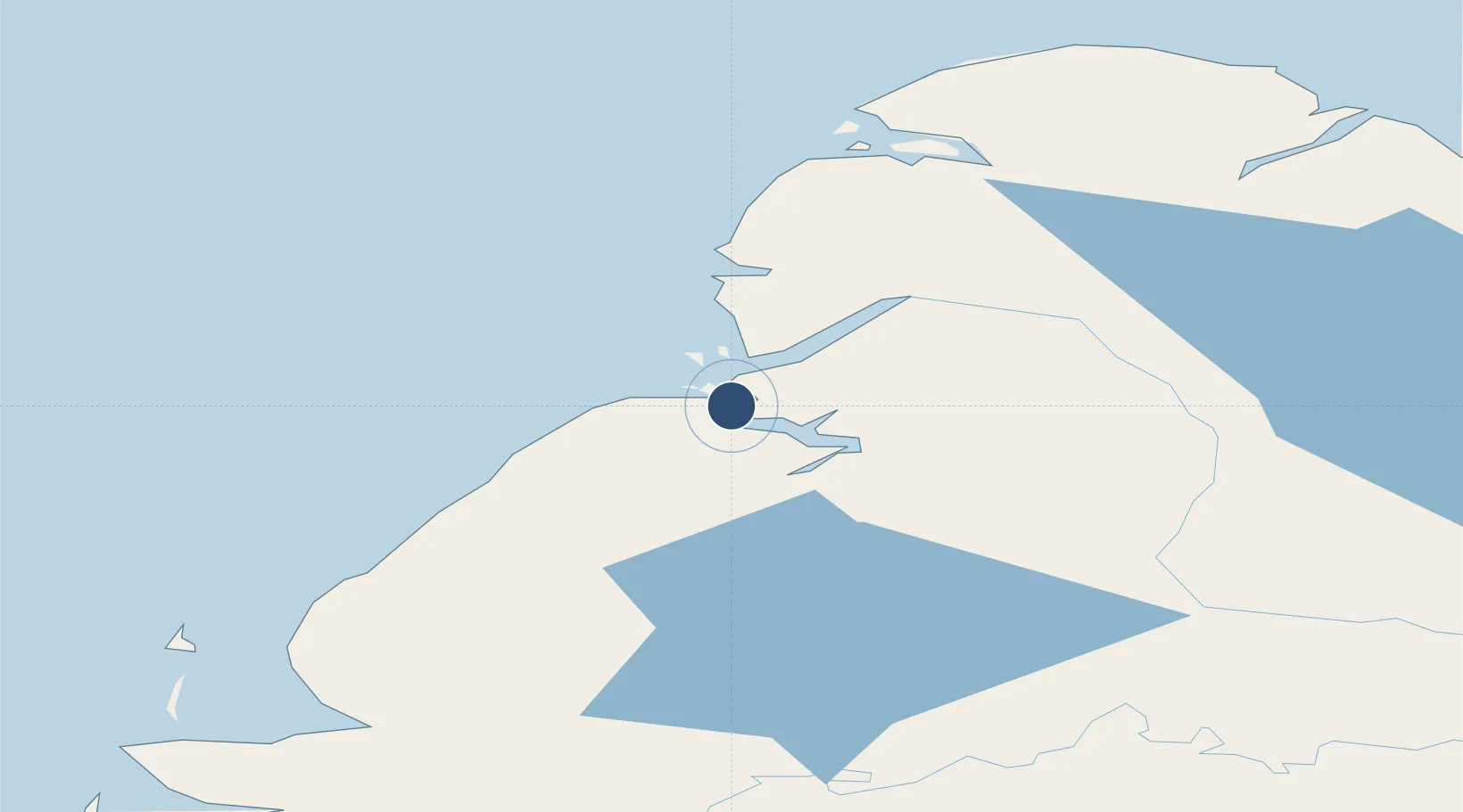
62.5206°, -164.8480°
15,000 ft
Longest runway
3
Runways
12 ft
Elevation
Runway & Layout

Runways · 3
| Runway | Dimensions | Surface | True heading | Lit |
|---|---|---|---|---|
| 09W/27W | 15,000 × 2000ft | Water | — | — |
| 18W/36W | 15,000 × 2000ft | Water | — | — |
| 01/19 | 3,015 × 60ft | GRAVEL-G | — | — |
Airport Specifications
IATA code
SXP
Airport class
Small airport
Scheduled service
Yes
Runway surface
Water
Served city
Nunam Iqua
Location
Nearby Logistics Neighbours
Airports
- 1Alakanuk Airport19 km
- 2Emmonak Airport35 km
- 3Mountain Village Airport77 km
- 4Scammon Bay Airport84 km
- 5Kotlik Airport88 km
Cities
- 1Sledge Island228 km
- 2Lavrentiya453 km
- 3Provideniya, Bukhta468 km
- 4Uelen470 km
- 5Susitna755 km
Ports
- 1Kotlik87 km
- 2St. Michael178 km
- 3Nome222 km
- 4Solomon227 km
- 5Bethel251 km
Trade Zones
- 1FTZ No. 160 Anchorage795 km
- 2FTZ No. 232 Kodiak836 km
- 3FTZ No. 195 Fairbanks880 km
- 4FTZ No. 108 Valdez979 km
- 5PrInce George Logistics Park2588 km
DatabookThe Record of Consolidated Knowledge
United States beyond logistics?