Small airport · United States
Alakanuk AirportPAUK
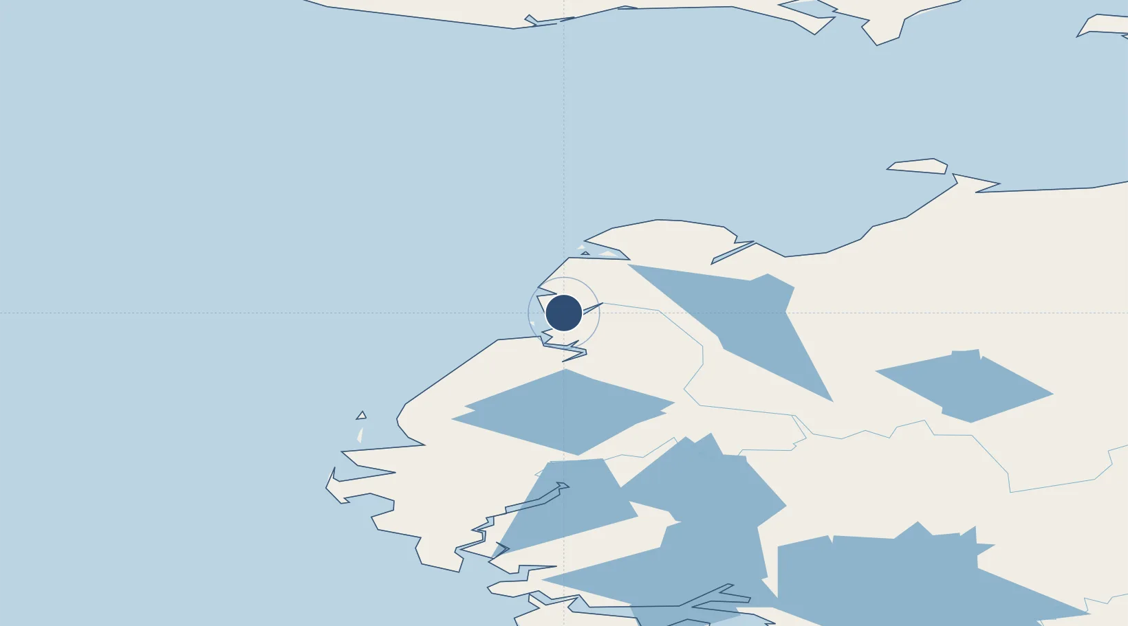
62.6827°, -164.7225°
4,000 ft
Longest runway
1
Runways
10 ft
Elevation
Runway & Layout

Runways · 1
| Runway | Dimensions | Surface | True heading | Lit |
|---|---|---|---|---|
| 16/34 | 4,000 × 75ft | GRVL-DIRT-G | — | ✓ |
Airport Specifications
IATA code
AUK
ICAO code
PAUK
Airport class
Small airport
Scheduled service
Yes
Runway surface
GRVL-DIRT-G
Served city
Alakanuk
Location
Nearby Logistics Neighbours
Airports
- 1Emmonak Airport17 km
- 2Nunam Iqua Airport19 km
- 3Kotlik Airport72 km
- 4Mountain Village Airport85 km
- 5St Mary's Airport101 km
Cities
- 1Sledge Island213 km
- 2Lavrentiya443 km
- 3Uelen458 km
- 4Provideniya, Bukhta465 km
- 5Susitna749 km
Ports
- 1Kotlik71 km
- 2St. Michael162 km
- 3Nome205 km
- 4Solomon208 km
- 5Unalakleet238 km
Trade Zones
- 1FTZ No. 160 Anchorage790 km
- 2FTZ No. 232 Kodiak842 km
- 3FTZ No. 195 Fairbanks867 km
- 4FTZ No. 108 Valdez973 km
- 5PrInce George Logistics Park2582 km
DatabookThe Record of Consolidated Knowledge
United States beyond logistics?