UN/LOCODE hub · United States
USLK2

Lake Katerine

41.9833°, -74.0000°
2
Transport functions

Transport Functions

Rail
Road
UN/LOCODE

Hub Profile

Region
NY
GeoNames

Location

Location of USLK2
Natural Earth 10m (public domain) · NY · USLK2 · 41.98, -74.00GoogleOSMYandex

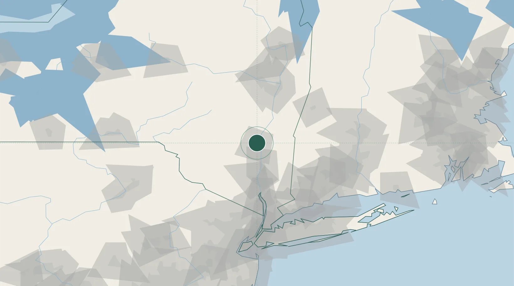
Nearby Logistics Neighbours

Cities
  1. 1Lake Katrine1 km
  2. 2Hurley8 km
  3. 3West Hurley8 km
  4. 4Port Ewen9 km
  5. 5Rhinebeck11 km
Nearest neighbours — logibook spatial index (haversine) over the source coordinates
Ports
  1. 1Kingston6 km
  2. 2Catskill29 km
  3. 3Poughkeepsie32 km
  4. 4Newburgh54 km
  5. 5Albany77 km
Nearest neighbours — logibook spatial index (haversine) over the source coordinates
Airports
  1. 1Dutchess County Airport41 km
  2. 2New York Stewart International Airport54 km
  3. 3Danbury Municipal Airport81 km
  4. 4Albany International Airport87 km
  5. 5Schenectady County Airport97 km
Nearest neighbours — logibook spatial index (haversine) over the source coordinates
Trade Zones
  1. 1FTZ No. 121 Albany83 km
  2. 2FTZ No. 037 Orange County101 km
  3. 3FTZ No. 201 Holyoke110 km
  4. 4FTZ No. 076 Bridgeport112 km
  5. 5FTZ No. 071 Windsor Locks113 km
Nearest neighbours — logibook spatial index (haversine) over the source coordinates
DatabookThe Record of Consolidated Knowledge
United States beyond logistics?
Browse databook

All Sources

LocationsUN/LOCODE
UN/LOCODE — free
Portsthe NGA World Port Index
Public domain (US gov)
AirportsOurAirports
Public domain
Trade Zonesthe World Bank SEZ database
CC BY 4.0
Trade ZonesOpen Zone Map
CC BY
← United States locations