Transport Functions
Rail
Road
Multimodal
Hub Profile
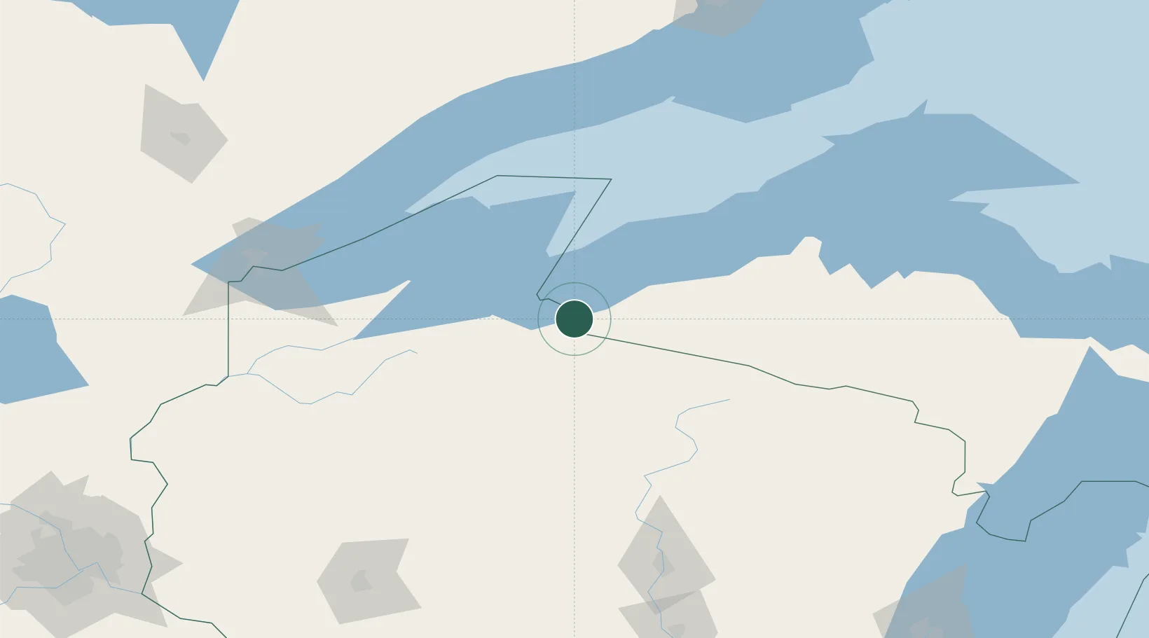
Place type
Provincial seat
Region
Wisconsin
Population
1,493
Time zone
America/Chicago
Elevation
456 m
Location
Nearby Logistics Neighbours
Cities
- 1Wakefield20 km
- 2Mellen39 km
- 3Glidden46 km
- 4White Pine58 km
- 5La Pointe59 km
Airports
Trade Zones
- 1FTZ No. 051 Duluth162 km
- 2FTZ No. 167 Brown County265 km
- 3FTZ No. 119 Minneapolis-St. Paul288 km
- 4FTZ No. 259 Koochiching County373 km
- 5FTZ No. 266 Dane County376 km
DatabookThe Record of Consolidated Knowledge
United States beyond logistics?