Transport Functions
Port
Rail
Road
Multimodal
Hub Profile
Place type
Populated place
Region
Wisconsin
Population
507
Time zone
America/Chicago
Elevation
464 m
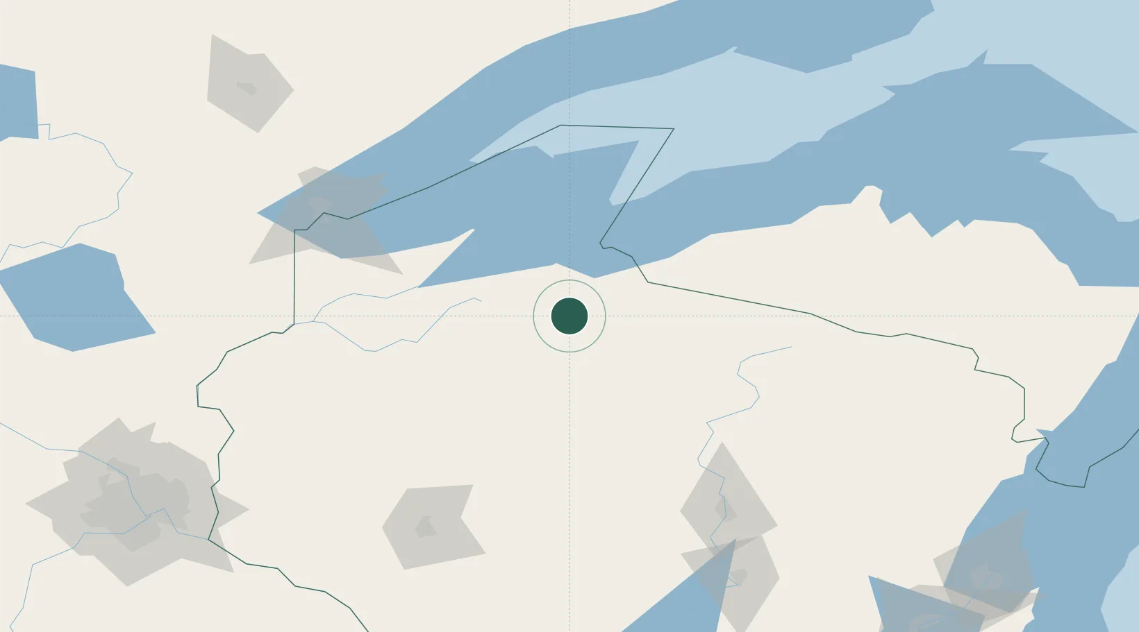
Location
Nearby Logistics Neighbours
Cities
- 1Mellen21 km
- 2Hurley46 km
- 3Mason, Bayfield49 km
- 4Wakefield63 km
- 5Exeland71 km
Ports
- 1Ashland56 km
- 2Washburn63 km
- 3La Pointe74 km
- 4Bayfield76 km
- 5Two Harbors127 km
Airports
- 1Gogebic Iron County Airport57 km
- 2Sawyer County Airport66 km
- 3Rhinelander Oneida County Airport104 km
- 4Duluth International Airport146 km
- 5Wausau Downtown Airport154 km
Trade Zones
- 1FTZ No. 051 Duluth145 km
- 2FTZ No. 119 Minneapolis-St. Paul243 km
- 3FTZ No. 167 Brown County260 km
- 4FTZ No. 266 Dane County348 km
- 5FTZ No. 259 Koochiching County368 km
DatabookThe Record of Consolidated Knowledge
United States beyond logistics?