UN/LOCODE hub · United States
USZML

Mellen

46.3167°, -90.6667°
700
Population
3
Transport functions

Transport Functions

Rail
Road
Multimodal
UN/LOCODE

Hub Profile

Place type
Populated place
GeoNames
Region
Wisconsin
GeoNames
Population
700
GeoNames
Time zone
America/Chicago
GeoNames
Elevation
381 m
GeoNames

Location

Location of USZML
Natural Earth 10m (public domain) · Wisconsin · USZML · 46.32, -90.67GoogleOSMYandex

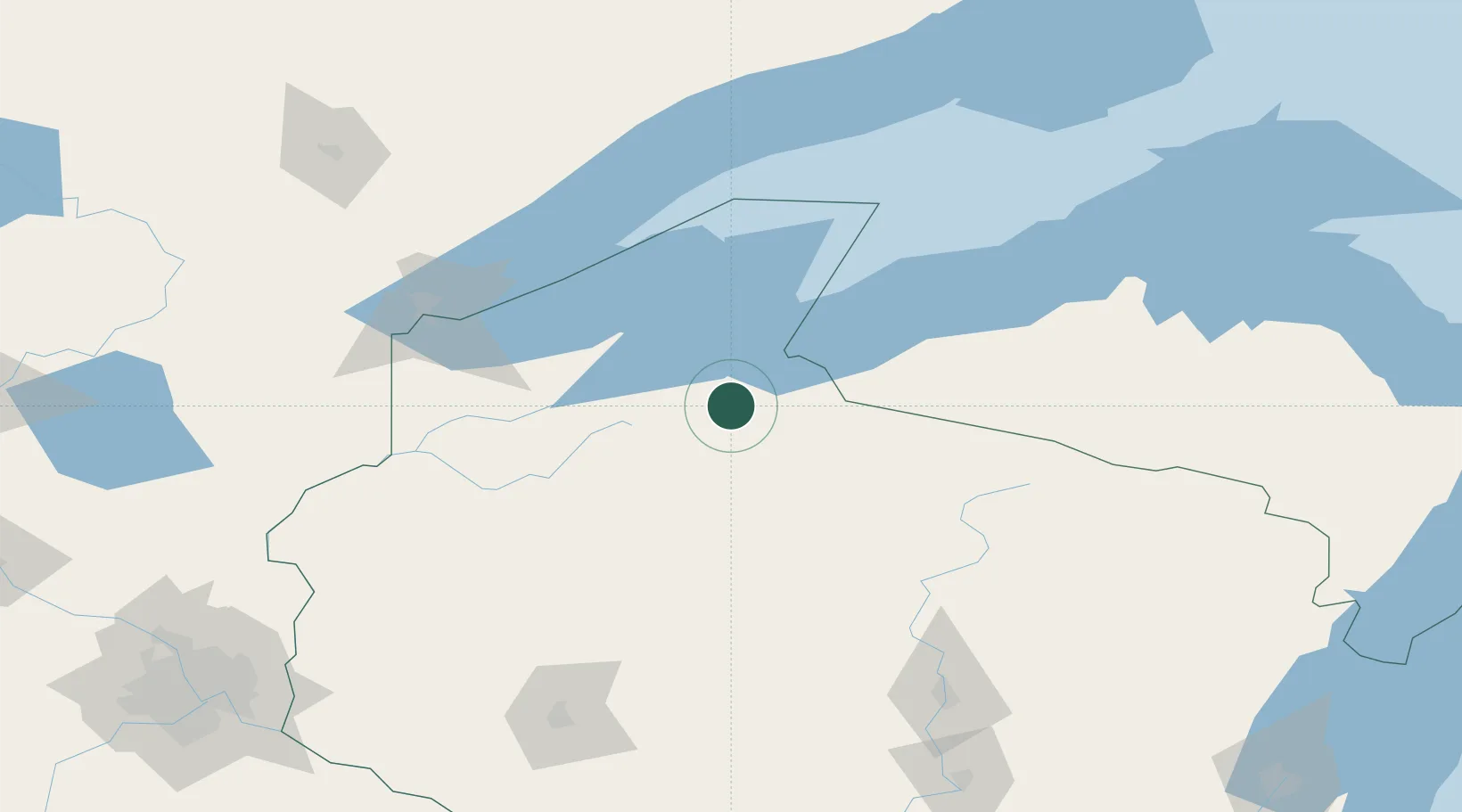
Nearby Logistics Neighbours

Cities
  1. 1Glidden21 km
  2. 2Mason, Bayfield33 km
  3. 3Hurley39 km
  4. 4La Pointe51 km
  5. 5Wakefield59 km
Nearest neighbours — logibook spatial index (haversine) over the source coordinates
Ports
  1. 1Ashland35 km
  2. 2Washburn42 km
  3. 3La Pointe53 km
  4. 4Bayfield55 km
  5. 5Two Harbors108 km
Nearest neighbours — logibook spatial index (haversine) over the source coordinates
Airports
  1. 1Gogebic Iron County Airport47 km
  2. 2Sawyer County Airport68 km
  3. 3Rhinelander Oneida County Airport120 km
  4. 4Duluth International Airport131 km
  5. 5Chippewa Valley Regional Airport173 km
Nearest neighbours — logibook spatial index (haversine) over the source coordinates
Trade Zones
  1. 1FTZ No. 051 Duluth131 km
  2. 2FTZ No. 119 Minneapolis-St. Paul250 km
  3. 3FTZ No. 167 Brown County278 km
  4. 4FTZ No. 259 Koochiching County351 km
  5. 5FTZ No. 266 Dane County369 km
Nearest neighbours — logibook spatial index (haversine) over the source coordinates
DatabookThe Record of Consolidated Knowledge
United States beyond logistics?
Browse databook

All Sources

LocationsUN/LOCODE
UN/LOCODE — free
LocationsGeoNames
CC BY 4.0
Portsthe NGA World Port Index
Public domain (US gov)
AirportsOurAirports
Public domain
Trade Zonesthe World Bank SEZ database
CC BY 4.0
Trade ZonesOpen Zone Map
CC BY
← United States locations