UN/LOCODE hub · Canada
CAABL

Amberly

44.0500°, -81.7167°
2
Transport functions

Transport Functions

Port
Multimodal
UN/LOCODE

Hub Profile

Region
ON
GeoNames

Location

Location of CAABL
Natural Earth 10m (public domain) · ON · CAABL · 44.05, -81.72GoogleOSMYandex

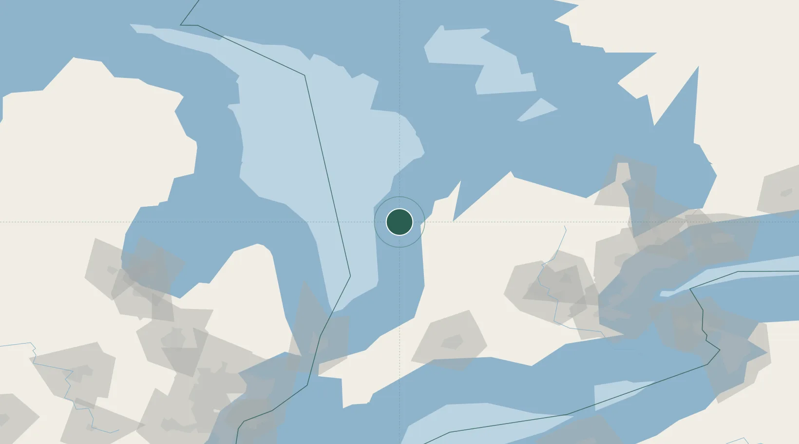
Nearby Logistics Neighbours

Cities
  1. 1Walkerton46 km
  2. 2Gorrie52 km
  3. 3Walton53 km
  4. 4Bayfield54 km
  5. 5Hanover57 km
Nearest neighbours — logibook spatial index (haversine) over the source coordinates
Ports
  1. 1Goderich33 km
  2. 2Port Elgin50 km
  3. 3Southampton57 km
  4. 4Harbor Beach78 km
  5. 5Owen Sound86 km
Nearest neighbours — logibook spatial index (haversine) over the source coordinates
Airports
  1. 1Kincardine Municipal Airport19 km
  2. 2Goderich Airport32 km
  3. 3Centralia / James T. Field Memorial Aerodrome87 km
  4. 4Wiarton Airport91 km
  5. 5Owen Sound / Billy Bishop Regional Airport92 km
Nearest neighbours — logibook spatial index (haversine) over the source coordinates
Trade Zones
  1. 1FTZ No. 210 St. Clair County150 km
  2. 2FTZ No. 140 Flint202 km
  3. 3FTZ No. 284 Genesee County216 km
  4. 4Windsor - Essex Foreign Trade Zone220 km
  5. 5FTZ No. 034 Niagara County224 km
Nearest neighbours — logibook spatial index (haversine) over the source coordinates
DatabookThe Record of Consolidated Knowledge
Canada beyond logistics?
Browse databook

All Sources

LocationsUN/LOCODE
UN/LOCODE — free
Portsthe NGA World Port Index
Public domain (US gov)
AirportsOurAirports
Public domain
Trade Zonesthe World Bank SEZ database
CC BY 4.0
Trade ZonesOpen Zone Map
CC BY
← Canada locations