UN/LOCODE hub · United States
USHB4
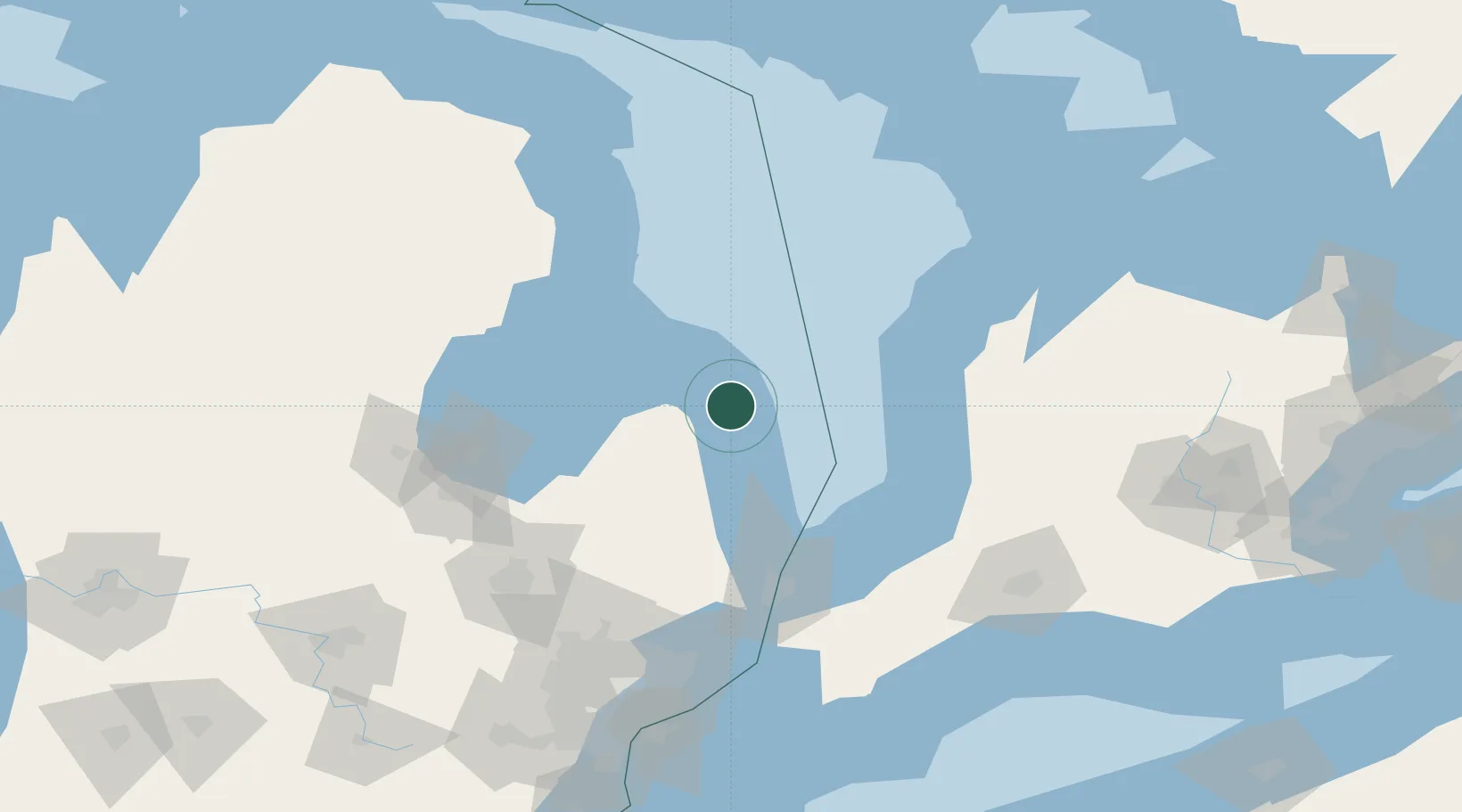
Harbor Beach
43.8500°, -82.6500°
1,634
Population
4
Transport functions
Transport Functions
Port
Rail
Road
Multimodal
Hub Profile
Place type
Populated place
Region
Michigan
Population
1,634
Time zone
America/Detroit
Elevation
185 m
Location
Nearby Logistics Neighbours
Cities
- 1Cass City50 km
- 2Caro73 km
- 3Amberly78 km
- 4Tawas City82 km
- 5Yale82 km
Ports
- 1Goderich74 km
- 2Alabaster81 km
- 3Tawas City82 km
- 4Oscoda83 km
- 5Port Huron96 km
Airports
Trade Zones
- 1FTZ No. 210 St. Clair County114 km
- 2FTZ No. 140 Flint130 km
- 3FTZ No. 284 Genesee County143 km
- 4Windsor - Essex Foreign Trade Zone173 km
- 5FTZ No. 070 Detroit173 km
DatabookThe Record of Consolidated Knowledge
United States beyond logistics?