Medium airport · Canada

Centralia / James T. Field Memorial AerodromeCYCE
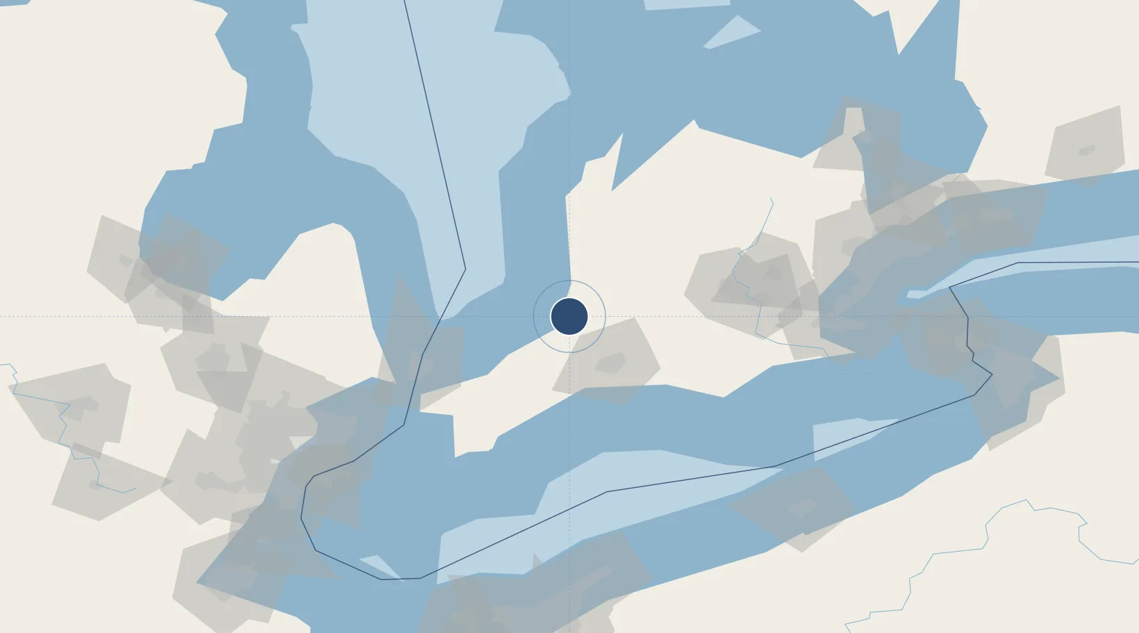
43.2856°, -81.5083°
5,012 ft
Longest runway
2
Runways
824 ft
Elevation

Runway & Layout

Centralia / James T. Field Memorial Aerodrome runway & taxiway layout
Runway & taxiway layout — OpenStreetMap (ODbL) / OurAirports

Radio Frequencies

UNIC
122.8 MHz
ATF/UNICOM
OurAirports

Runways · 2

RunwayDimensions SurfaceTrue headingLit
10/28 5,012 × 100ft Asphalt 091°
16/34 4,400 × 150ft Asphalt 151°
OurAirports

Airport Specifications

IATA code
YCE
OurAirports
ICAO code
CYCE
OurAirports
Airport class
Medium airport
OurAirports
Scheduled service
No
OurAirports
Runway surface
Asphalt
OurAirports
Served city
Huron Park
OurAirports

Location

Location of CYCE
Natural Earth 10m (public domain) · Ontario · CYCE · 43.29, -81.51GoogleOSMYandex

Nearby Logistics Neighbours

Airports
  1. 1London International Airport41 km
  2. 2Goderich Airport56 km
  3. 3St Thomas Municipal Airport66 km
  4. 4Chris Hadfield Airport72 km
  5. 5Region of Waterloo International Airport93 km
Nearest neighbours — logibook spatial index (haversine) over the source coordinates
Cities
  1. 1Brucefield26 km
  2. 2Dublin30 km
  3. 3Mitchell31 km
  4. 4Thedford32 km
  5. 5Saint-Marys32 km
Nearest neighbours — logibook spatial index (haversine) over the source coordinates
Ports
  1. 1Goderich55 km
  2. 2Port Stanley73 km
  3. 3Point Edward80 km
  4. 4Sarnia81 km
  5. 5Port Huron82 km
Nearest neighbours — logibook spatial index (haversine) over the source coordinates
Trade Zones
  1. 1FTZ No. 210 St. Clair County97 km
  2. 2Windsor - Essex Foreign Trade Zone164 km
  3. 3FTZ No. 247 Erie173 km
  4. 4FTZ No. 070 Detroit175 km
  5. 5FTZ No. 140 Flint186 km
Nearest neighbours — logibook spatial index (haversine) over the source coordinates
DatabookThe Record of Consolidated Knowledge
Canada beyond logistics?
Browse databook

All Sources

AirportsOurAirports
Public domain
Portsthe NGA World Port Index
Public domain (US gov)
LocationsUN/LOCODE
UN/LOCODE — free
Trade Zonesthe World Bank SEZ database
CC BY 4.0
Trade ZonesOpen Zone Map
CC BY
InfrastructureOpenStreetMap
ODbL 1.0
← Canada airports