Transport Functions
Road
Multimodal
Hub Profile
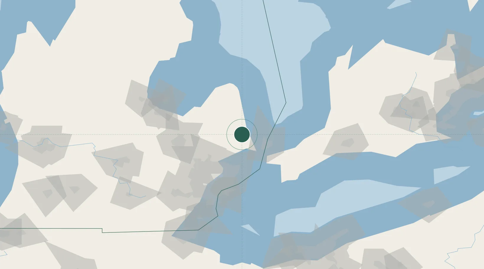
Place type
Populated place
Region
Michigan
Population
1,905
Time zone
America/Detroit
Elevation
242 m
Location
Nearby Logistics Neighbours
Cities
- 1Capac17 km
- 2Fort Gratiot27 km
- 3Almont31 km
- 4Armada32 km
- 5Dryden33 km
Ports
- 1Port Huron31 km
- 2Point Edward33 km
- 3Sarnia33 km
- 4St Clair41 km
- 5Courtright42 km
Airports
Trade Zones
DatabookThe Record of Consolidated Knowledge
United States beyond logistics?