Medium airport · United States

Corvallis Municipal AirportKCVO

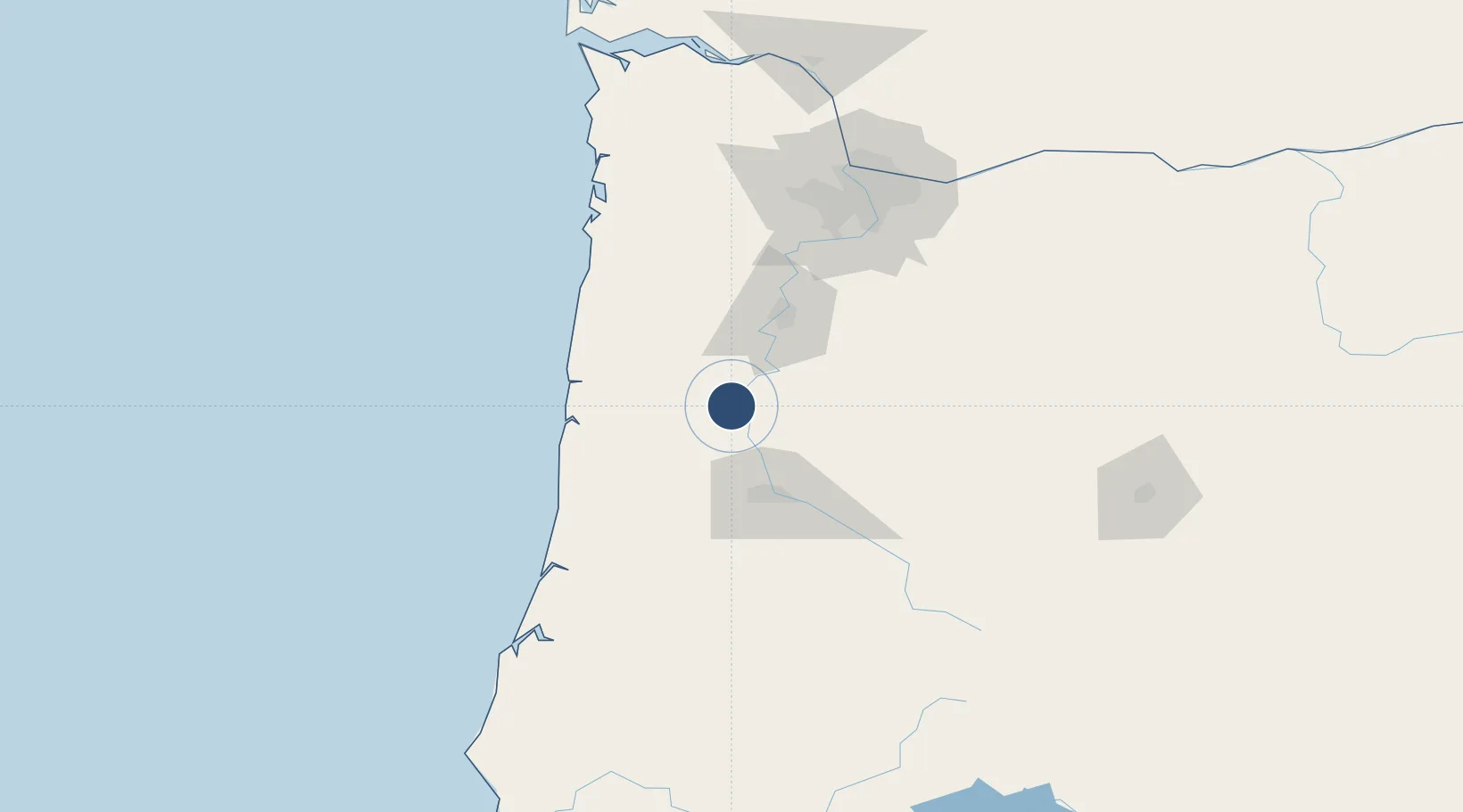
44.4972°, -123.2900°
5,900 ft
Longest runway
2
Runways
250 ft
Elevation

Runway & Layout

Corvallis Municipal Airport runway & taxiway layout
Runway & taxiway layout — OpenStreetMap (ODbL) / OurAirports

Radio Frequencies

AWOS
135.775 MHz
AWOS 3
A/D
127.5 MHz
CASCADE APP/DEP
UNIC
123 MHz
CTAF/UNICOM
OurAirports

Navaids

CVO VOR-DME Corvallis 115.40 MHz
LWG NDB Lewisburg 225 kHz
OurAirports

Runways · 2

RunwayDimensions SurfaceTrue headingLit
17/35 5,900 × 150ft Asphalt 187°
10/28 3,100 × 75ft Asphalt 112°
OurAirports

Airport Specifications

IATA code
CVO
OurAirports
ICAO code
KCVO
OurAirports
Airport class
Medium airport
OurAirports
Scheduled service
No
OurAirports
Runway surface
Asphalt
OurAirports
Served city
Corvallis
OurAirports

Location

Location of KCVO
Natural Earth 10m (public domain) · Oregon · KCVO · 44.50, -123.29GoogleOSMYandex

Nearby Logistics Neighbours

Airports
  1. 1Eugene Airport42 km
  2. 2Salem-Willamette Valley Airport/McNary Field51 km
  3. 3Newport Municipal Airport62 km
  4. 4McMinnville Municipal Airport79 km
  5. 5Aurora State Airport93 km
Nearest neighbours — logibook spatial index (haversine) over the source coordinates
Cities
  1. 1Philomath6 km
  2. 2Tangent16 km
  3. 3Shedd16 km
  4. 4Tulsa16 km
  5. 5Monroe20 km
Nearest neighbours — logibook spatial index (haversine) over the source coordinates
Ports
  1. 1Toledo53 km
  2. 2Newport62 km
  3. 3Florence88 km
  4. 4Gardiner108 km
  5. 5Portland124 km
Nearest neighbours — logibook spatial index (haversine) over the source coordinates
Trade Zones
  1. 1FTZ No. 255 Washington County117 km
  2. 2FTZ No. 045 Portland123 km
  3. 3FTZ No. 296 Vancouver135 km
  4. 4FTZ No. 132 Coos County146 km
  5. 5FTZ No. 120 Cowlitz County182 km
Nearest neighbours — logibook spatial index (haversine) over the source coordinates
DatabookThe Record of Consolidated Knowledge
United States beyond logistics?
Browse databook

All Sources

AirportsOurAirports
Public domain
Portsthe NGA World Port Index
Public domain (US gov)
LocationsUN/LOCODE
UN/LOCODE — free
Trade Zonesthe World Bank SEZ database
CC BY 4.0
Trade ZonesOpen Zone Map
CC BY
InfrastructureOpenStreetMap
ODbL 1.0
← United States airports