Medium airport · United States

Salem-Willamette Valley Airport/McNary FieldKSLE

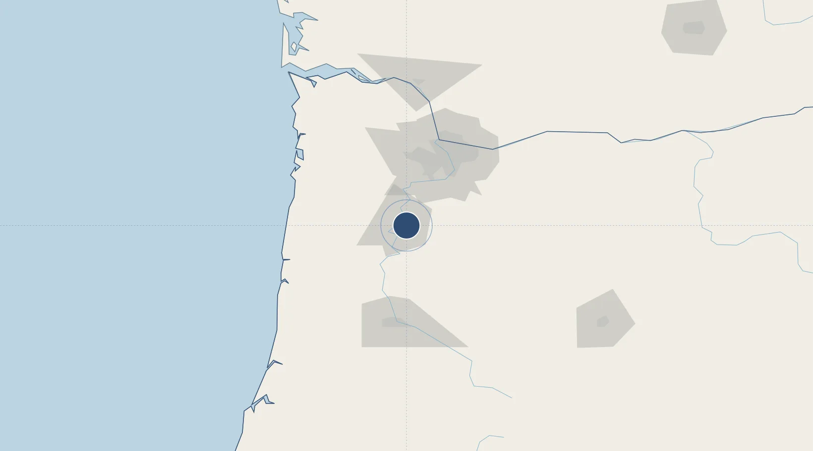
44.9095°, -123.0030°
5,811 ft
Longest runway
2
Runways
214 ft
Elevation

Runway & Layout

Salem-Willamette Valley Airport/McNary Field runway & taxiway layout
Runway & taxiway layout — OpenStreetMap (ODbL) / OurAirports

Radio Frequencies

ATIS
124.55 MHz
TWR
119.1 MHz
SALEM TWR
GND
121.9 MHz
CTAF
119.1 MHz
CNTR
125.8 MHz
SEATTLE CNTR
RDO
122.6 MHz
MC MINNVILLE RDO
UNIC
122.95 MHz
UNICOM
OurAirports

Navaids

SL NDB Turno 266 kHz
OurAirports

Runways · 2

RunwayDimensions SurfaceTrue headingLit
13/31 5,811 × 150ft Asphalt 150°
16/34 5,146 × 100ft Asphalt 181°
OurAirports

Airport Specifications

IATA code
SLE
OurAirports
ICAO code
KSLE
OurAirports
Airport class
Medium airport
OurAirports
Scheduled service
Yes
OurAirports
Runway surface
Asphalt
OurAirports
Served city
Salem
OurAirports

Location

Location of KSLE
Natural Earth 10m (public domain) · Oregon · KSLE · 44.91, -123.00GoogleOSMYandex

Nearby Logistics Neighbours

Airports
  1. 1McMinnville Municipal Airport33 km
  2. 2Aurora State Airport42 km
  3. 3Corvallis Municipal Airport51 km
  4. 4Portland Hillsboro Airport70 km
  5. 5Portland International Airport82 km
Nearest neighbours — logibook spatial index (haversine) over the source coordinates
Cities
  1. 1Turner9 km
  2. 2Keizer10 km
  3. 3Aumsville14 km
  4. 4Rickreall17 km
  5. 5Monmouth19 km
Nearest neighbours — logibook spatial index (haversine) over the source coordinates
Ports
  1. 1Portland73 km
  2. 2Toledo80 km
  3. 3Vancouver84 km
  4. 4Newport88 km
  5. 5Camas89 km
Nearest neighbours — logibook spatial index (haversine) over the source coordinates
Trade Zones
  1. 1FTZ No. 045 Portland72 km
  2. 2FTZ No. 255 Washington County77 km
  3. 3FTZ No. 296 Vancouver85 km
  4. 4FTZ No. 120 Cowlitz County135 km
  5. 5FTZ No. 132 Coos County197 km
Nearest neighbours — logibook spatial index (haversine) over the source coordinates
DatabookThe Record of Consolidated Knowledge
United States beyond logistics?
Browse databook

All Sources

AirportsOurAirports
Public domain
Portsthe NGA World Port Index
Public domain (US gov)
LocationsUN/LOCODE
UN/LOCODE — free
Trade Zonesthe World Bank SEZ database
CC BY 4.0
Trade ZonesOpen Zone Map
CC BY
InfrastructureOpenStreetMap
ODbL 1.0
← United States airports