Transport Functions
Rail
Road
Hub Profile
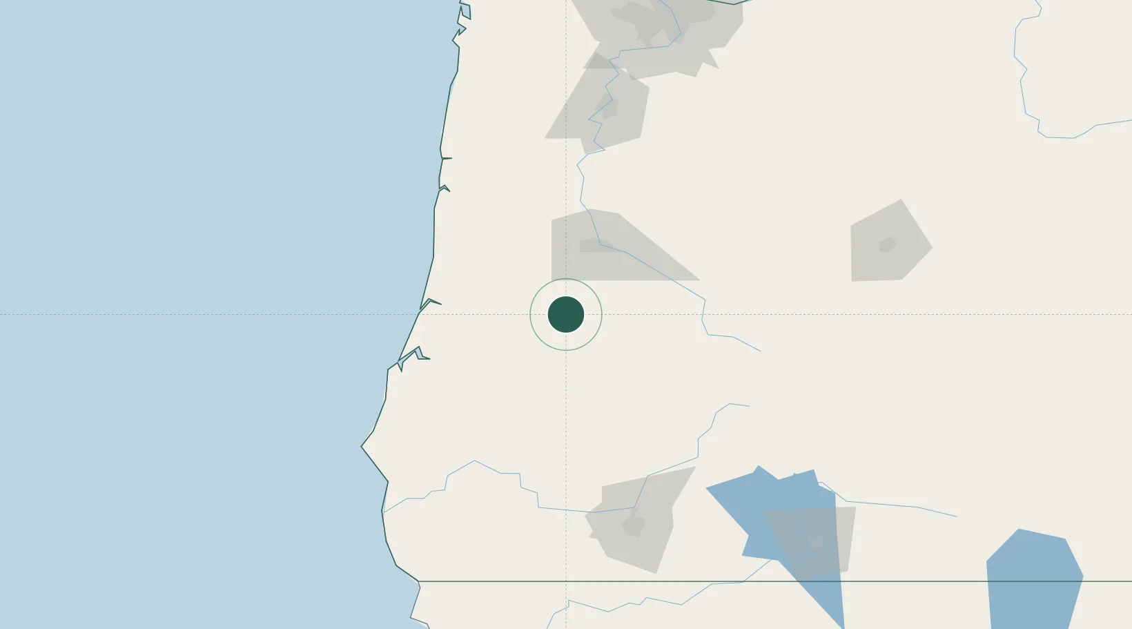
Place type
Populated place
Region
Oregon
Population
1,157
Time zone
America/Los_Angeles
Elevation
89 m
Location
Nearby Logistics Neighbours
Cities
- 1Oakland24 km
- 2Cottage Grove25 km
- 3Saginaw28 km
- 4Umpqua36 km
- 5Noti46 km
Ports
- 1Gardiner65 km
- 2Florence74 km
- 3North Bend79 km
- 4Coos Bay80 km
- 5Prosper103 km
Airports
Trade Zones
- 1FTZ No. 132 Coos County80 km
- 2FTZ No. 255 Washington County211 km
- 3FTZ No. 045 Portland214 km
- 4FTZ No. 296 Vancouver226 km
- 5FTZ No. 120 Cowlitz County276 km
DatabookThe Record of Consolidated Knowledge
United States beyond logistics?