Transport Functions
Rail
Road
Hub Profile
Place type
Populated place
Region
Oregon
Population
936
Time zone
America/Los_Angeles
Elevation
137 m
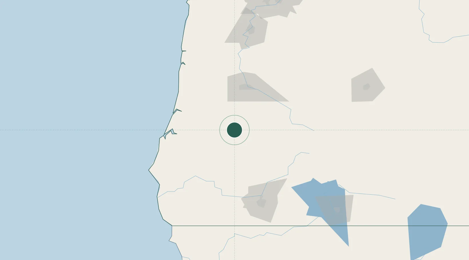
Location
Nearby Logistics Neighbours
Cities
- 1Umpqua18 km
- 2Drain24 km
- 3Cottage Grove43 km
- 4Saginaw47 km
- 5Days Creek53 km
Ports
- 1Gardiner73 km
- 2North Bend76 km
- 3Coos Bay76 km
- 4Florence90 km
- 5Prosper93 km
Airports
Trade Zones
- 1FTZ No. 132 Coos County76 km
- 2FTZ No. 255 Washington County235 km
- 3FTZ No. 045 Portland238 km
- 4FTZ No. 296 Vancouver250 km
- 5FTZ No. 120 Cowlitz County299 km
DatabookThe Record of Consolidated Knowledge
United States beyond logistics?