UN/LOCODE hub · United States
USTXQ

Noti

44.0500°, -123.4333°
2
Transport functions

Transport Functions

Port
Multimodal
UN/LOCODE

Hub Profile

Place type
Populated place
GeoNames
Region
Oregon
GeoNames
Time zone
America/Los_Angeles
GeoNames
Elevation
148 m
GeoNames

Location

Location of USTXQ
Natural Earth 10m (public domain) · Oregon · USTXQ · 44.05, -123.43GoogleOSMYandex

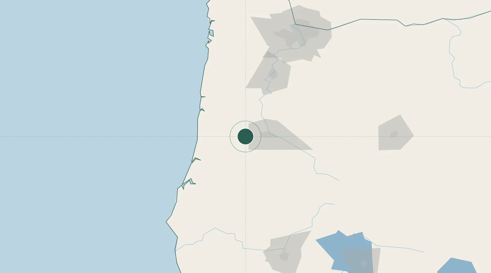
Nearby Logistics Neighbours

Cities
  1. 1Junction City26 km
  2. 2Monroe32 km
  3. 3Harrisburg32 km
  4. 4Saginaw41 km
  5. 5Cottage Grove43 km
Nearest neighbours — logibook spatial index (haversine) over the source coordinates
Ports
  1. 1Florence55 km
  2. 2Gardiner65 km
  3. 3Toledo75 km
  4. 4Newport81 km
  5. 5North Bend96 km
Nearest neighbours — logibook spatial index (haversine) over the source coordinates
Airports
  1. 1Eugene Airport20 km
  2. 2Corvallis Municipal Airport51 km
  3. 3Newport Municipal Airport77 km
  4. 4Southwest Oregon Regional Airport96 km
  5. 5Salem-Willamette Valley Airport/McNary Field102 km
Nearest neighbours — logibook spatial index (haversine) over the source coordinates
Trade Zones
  1. 1FTZ No. 132 Coos County99 km
  2. 2FTZ No. 255 Washington County167 km
  3. 3FTZ No. 045 Portland174 km
  4. 4FTZ No. 296 Vancouver186 km
  5. 5FTZ No. 120 Cowlitz County233 km
Nearest neighbours — logibook spatial index (haversine) over the source coordinates
DatabookThe Record of Consolidated Knowledge
United States beyond logistics?
Browse databook

All Sources

LocationsUN/LOCODE
UN/LOCODE — free
Portsthe NGA World Port Index
Public domain (US gov)
AirportsOurAirports
Public domain
Trade Zonesthe World Bank SEZ database
CC BY 4.0
Trade ZonesOpen Zone Map
CC BY
← United States locations