UN/LOCODE hub · United States
USEPS
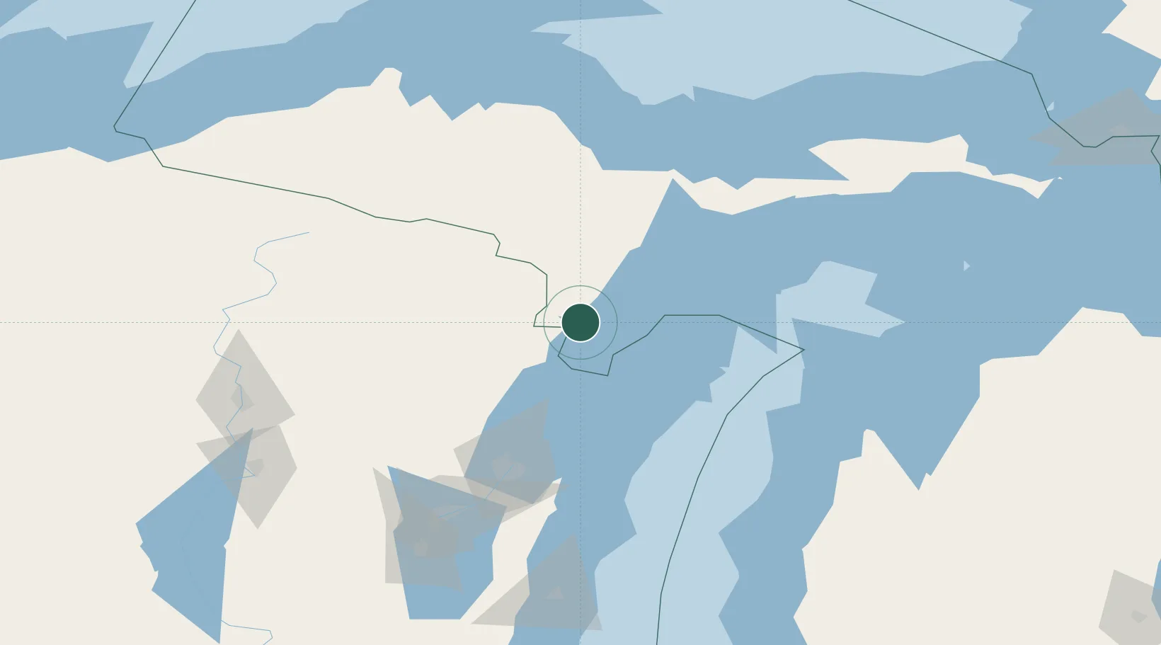
Stephenson
45.4000°, -87.6000°
867
Population
2
Transport functions
Transport Functions
Rail
Road
Hub Profile
Place type
Populated place
Region
Michigan
Population
867
Time zone
America/Menominee
Elevation
205 m
Location
Nearby Logistics Neighbours
Cities
- 1Cedar River20 km
- 2Wilson36 km
- 3Crivitz36 km
- 4Pound48 km
- 5Norway49 km
Ports
- 1Menominee34 km
- 2Marinette35 km
- 3Oconto59 km
- 4Escanaba59 km
- 5Sturgeon Bay65 km
Airports
Trade Zones
- 1FTZ No. 167 Brown County118 km
- 2FTZ No. 019 Omaha244 km
- 3FTZ No. 189 Kent Ottawa/Muskegon Counties262 km
- 4FTZ No. 041 Milwaukee264 km
- 5FTZ No. 016 Sault Ste. Marie275 km
DatabookThe Record of Consolidated Knowledge
United States beyond logistics?