Transport Functions
Port
Road
Hub Profile
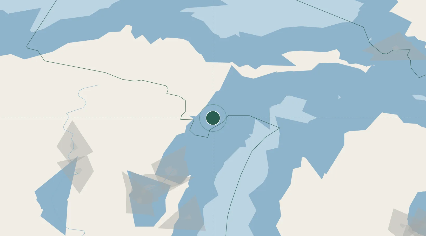
Place type
Populated place
Region
Michigan
Time zone
America/Menominee
Elevation
178 m
Location
Nearby Logistics Neighbours
Cities
- 1Stephenson20 km
- 2Wilson34 km
- 3Crivitz54 km
- 4Kingsley58 km
- 5Norway60 km
Ports
- 1Menominee39 km
- 2Marinette40 km
- 3Escanaba47 km
- 4Gladstone56 km
- 5Sturgeon Bay63 km
Airports
- 1Delta County Airport41 km
- 2Ford Airport76 km
- 3Marquette/Sawyer International Airport106 km
- 4Austin Straubel International Airport119 km
- 5Beaver Island Airport143 km
Trade Zones
- 1FTZ No. 167 Brown County128 km
- 2FTZ No. 019 Omaha239 km
- 3FTZ No. 189 Kent Ottawa/Muskegon Counties255 km
- 4FTZ No. 016 Sault Ste. Marie257 km
- 5FTZ No. 041 Milwaukee267 km
DatabookThe Record of Consolidated Knowledge
United States beyond logistics?