UN/LOCODE hub · United States
USFNF
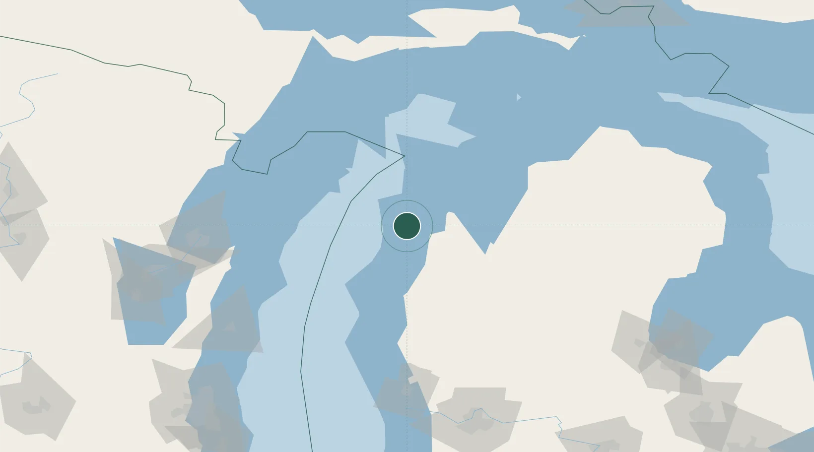
Frankfort
44.6333°, -86.2333°
1,283
Population
3
Transport functions
Transport Functions
Port
Rail
Road
Hub Profile
Place type
Populated place
Region
Michigan
Population
1,283
Time zone
America/Detroit
Elevation
182 m
Location
Nearby Logistics Neighbours
Cities
- 1Thompsonville27 km
- 2Grawn44 km
- 3Suttons Bay59 km
- 4Williamsburg68 km
- 5Northport73 km
Ports
- 1Manistee43 km
- 2Traverse City51 km
- 3Ludington78 km
- 4Sturgeon Bay94 km
- 5Algoma95 km
Airports
- 1Manistee County Blacker Airport40 km
- 2Cherry Capital Airport53 km
- 3Charlevoix Municipal Airport106 km
- 4Beaver Island Airport129 km
- 5Welke Airport133 km
Trade Zones
- 1FTZ No. 019 Omaha154 km
- 2FTZ No. 189 Kent Ottawa/Muskegon Counties155 km
- 3FTZ No. 167 Brown County164 km
- 4FTZ No. 101 Clinton County223 km
- 5FTZ No. 041 Milwaukee231 km
DatabookThe Record of Consolidated Knowledge
United States beyond logistics?