Transport Functions
Road
Multimodal
Hub Profile
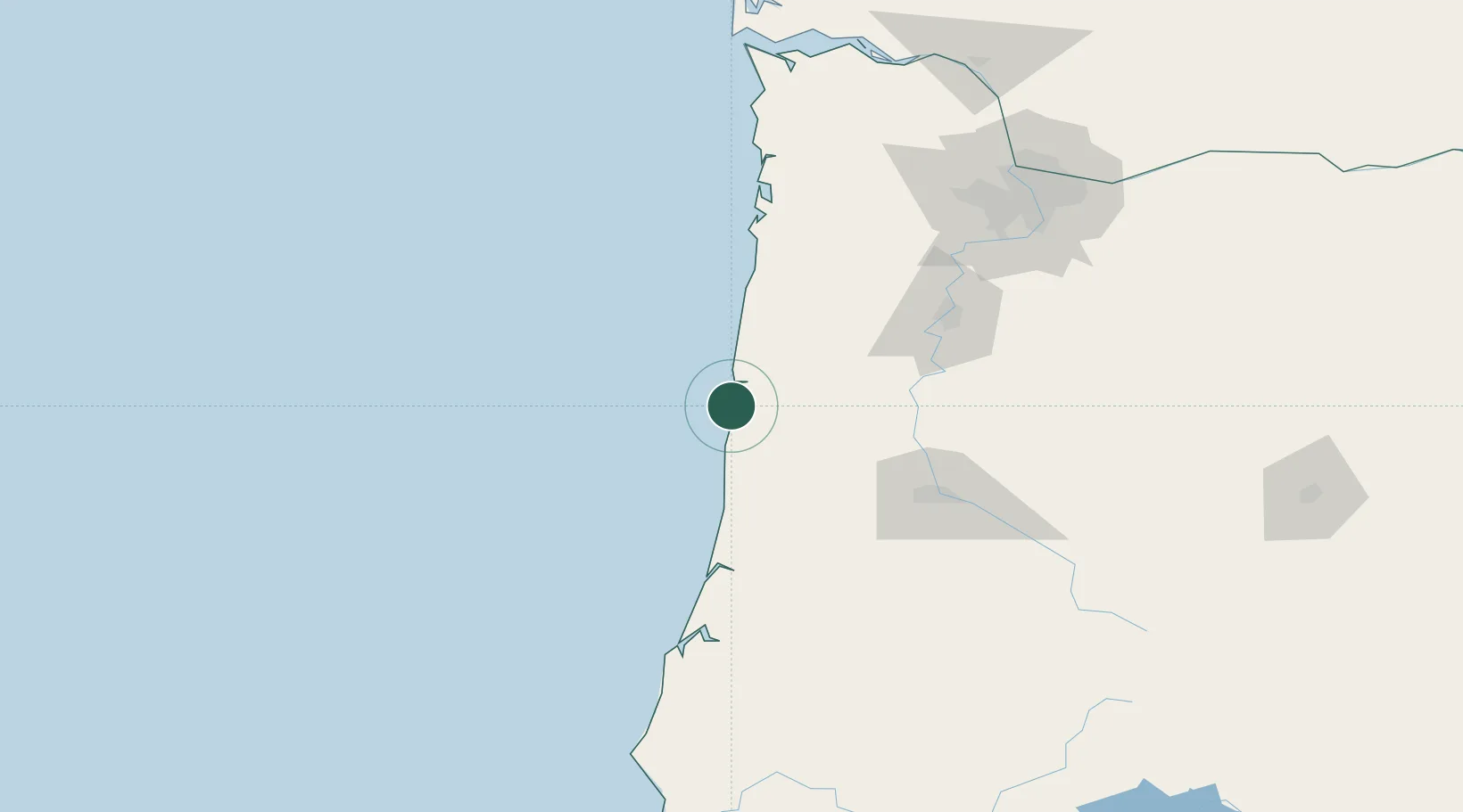
Place type
Populated place
Region
Oregon
Time zone
America/Los_Angeles
Elevation
1 m
Location
Nearby Logistics Neighbours
Cities
- 1Newport15 km
- 2Lincoln City52 km
- 3Philomath58 km
- 4Monroe66 km
- 5Noti72 km
Ports
- 1Newport15 km
- 2Toledo18 km
- 3Florence59 km
- 4Gardiner87 km
- 5North Bend123 km
Airports
Trade Zones
- 1FTZ No. 132 Coos County126 km
- 2FTZ No. 255 Washington County129 km
- 3FTZ No. 045 Portland154 km
- 4FTZ No. 296 Vancouver167 km
- 5FTZ No. 120 Cowlitz County199 km
DatabookThe Record of Consolidated Knowledge
United States beyond logistics?