Transport Functions
Rail
Road
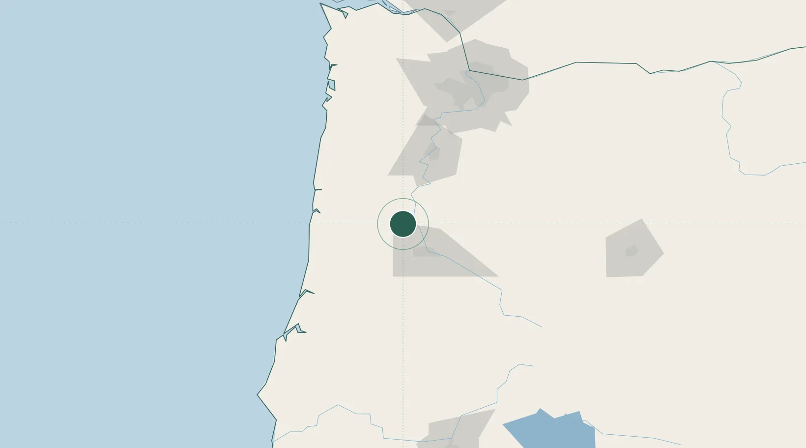
Hub Profile
Place type
Populated place
Region
Oregon
Population
621
Time zone
America/Los_Angeles
Elevation
87 m
Location
Nearby Logistics Neighbours
Cities
- 1Harrisburg12 km
- 2Tulsa13 km
- 3Junction City14 km
- 4Shedd22 km
- 5Philomath24 km
Ports
- 1Toledo60 km
- 2Newport69 km
- 3Florence76 km
- 4Gardiner92 km
- 5North Bend126 km
Airports
Trade Zones
- 1FTZ No. 132 Coos County129 km
- 2FTZ No. 255 Washington County137 km
- 3FTZ No. 045 Portland142 km
- 4FTZ No. 296 Vancouver155 km
- 5FTZ No. 120 Cowlitz County202 km
DatabookThe Record of Consolidated Knowledge
United States beyond logistics?