UN/LOCODE hub · United States
USNPO
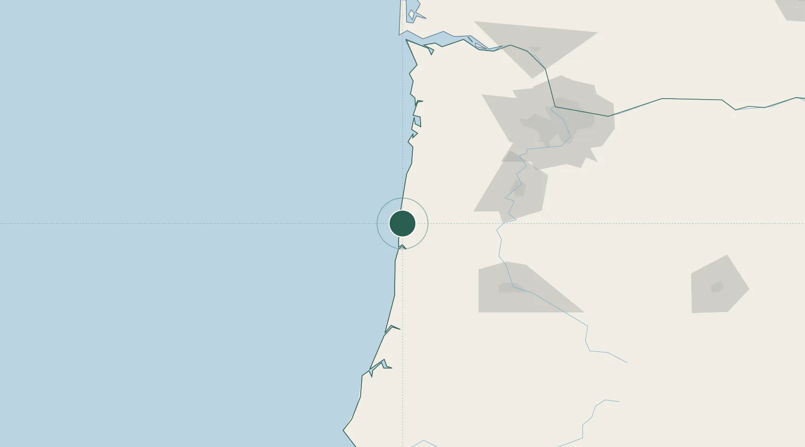
Newport
44.6333°, -124.0500°
10,268
Population
2
Transport functions
Transport Functions
Port
Road
Hub Profile
Place type
Provincial seat
Region
Oregon
Population
10,268
Time zone
America/Los_Angeles
Elevation
42 m
Location
Nearby Logistics Neighbours
Cities
- 1Seal Rock15 km
- 2Lincoln City37 km
- 3Philomath57 km
- 4Monroe69 km
- 5Monmouth70 km
Ports
- 1Toledo9 km
- 2Florence74 km
- 3Gardiner102 km
- 4North Bend138 km
- 5Coos Bay142 km
Airports
Trade Zones
- 1FTZ No. 255 Washington County114 km
- 2FTZ No. 045 Portland141 km
- 3FTZ No. 132 Coos County141 km
- 4FTZ No. 296 Vancouver155 km
- 5FTZ No. 120 Cowlitz County184 km
DatabookThe Record of Consolidated Knowledge
United States beyond logistics?