Channel & Berth Profile
Pilotage, Tugs & Services
Pilotage availableYES
Tug assistanceYES
Shore powerYES
Potable waterYES
Diesel bunkersYES
Facilities & Capabilities
Container—
Ro-Ro—
Liquid bulk—
Dry bulk—
Oil terminal—
Break bulk—
Dry dock—
RepairsNO
BunkeringYES
Rail linkYES
Dangerous cargo—
ISPS security—
Harbour Specifications
Harbour size
Very Small
Harbour type
River (Natural)
Shelter
Excellent
Water body
North Pacific Ocean
Tidal range
1.8 m
Overhead limit
Yes
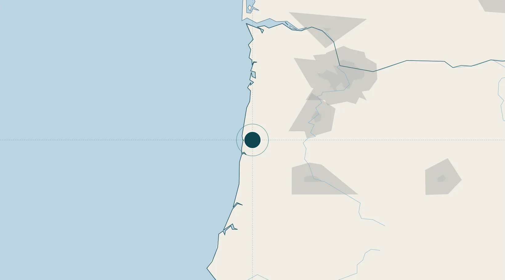
Location
Nearby Logistics Neighbours
Ports
- 1Newport9 km
- 2Florence74 km
- 3Gardiner101 km
- 4North Bend137 km
- 5Coos Bay141 km
Cities
- 1Newport9 km
- 2Seal Rock18 km
- 3Lincoln City40 km
- 4Philomath47 km
- 5Monroe60 km
Airports
Trade Zones
- 1FTZ No. 255 Washington County112 km
- 2FTZ No. 045 Portland136 km
- 3FTZ No. 132 Coos County141 km
- 4FTZ No. 296 Vancouver150 km
- 5FTZ No. 120 Cowlitz County182 km
DatabookThe Record of Consolidated Knowledge
United States beyond logistics?