Transport Functions
Rail
Road
Multimodal
Hub Profile
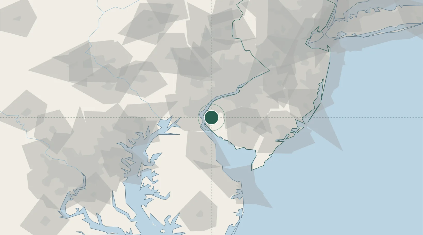
Place type
Populated place
Region
New Jersey
Time zone
America/New_York
Elevation
5 m
Location
Nearby Logistics Neighbours
Cities
- 1Mannington2 km
- 2Hancocks Bridge9 km
- 3Delaware City12 km
- 4Woodstown14 km
- 5Wilmington16 km
Ports
- 1Salem Nj10 km
- 2New Castle12 km
- 3Deepwater Point14 km
- 4Wilmington19 km
- 5Marcus Hook26 km
Airports
Trade Zones
- 1FTZ No. 099 Wilmington20 km
- 2FTZ No. 142 Salem Millville36 km
- 3FTZ No. 035 Philadelphia49 km
- 4FTZ No. 200 Mercer County93 km
- 5FTZ No. 074 Baltimore105 km
DatabookThe Record of Consolidated Knowledge
United States beyond logistics?