Channel & Berth Profile
Pilotage, Tugs & Services
Potable waterYES
Diesel bunkersYES
Facilities & Capabilities
Container—
Ro-Ro—
Liquid bulk—
Dry bulk—
Oil terminal—
Break bulk—
Dry dock—
RepairsNO
BunkeringYES
Rail link—
Dangerous cargo—
ISPS security—
Harbour Specifications
Harbour size
Very Small
Harbour type
Coastal (Natural)
Shelter
Good
Water body
North Pacific Ocean
Tidal range
1.2 m
Overhead limit
Yes
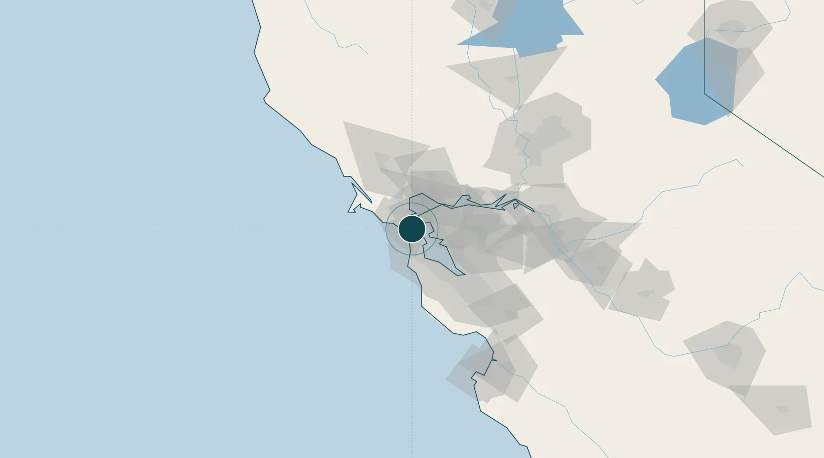
Location
Nearby Logistics Neighbours
Ports
- 1San Francisco7 km
- 2Point Richmond13 km
- 3Oakland14 km
- 4Point San Pablo14 km
- 5Berkeley16 km
Cities
- 1Tiburon4 km
- 2Greenbrae10 km
- 3Richmond13 km
- 4San Francisco15 km
- 5Bolinas18 km
Airports
Trade Zones
- 1FTZ No. 003 San Francisco10 km
- 2FTZ No. 056 Oakland19 km
- 3FTZ No. 018 San Jose78 km
- 4FTZ No. 231 Stockton102 km
- 5FTZ No. 143 West Sacramento117 km
DatabookThe Record of Consolidated Knowledge
United States beyond logistics?