UN/LOCODE hub · United States
USIAO

Cotati

38.3167°, -122.7000°
7,445
Population
3
Transport functions

Transport Functions

Rail
Road
Multimodal
UN/LOCODE

Hub Profile

Place type
Populated place
GeoNames
Region
California
GeoNames
Population
7,445
GeoNames
Time zone
America/Los_Angeles
GeoNames
Elevation
33 m
GeoNames

Location

Location of USIAO
Natural Earth 10m (public domain) · California · USIAO · 38.32, -122.70GoogleOSMYandex

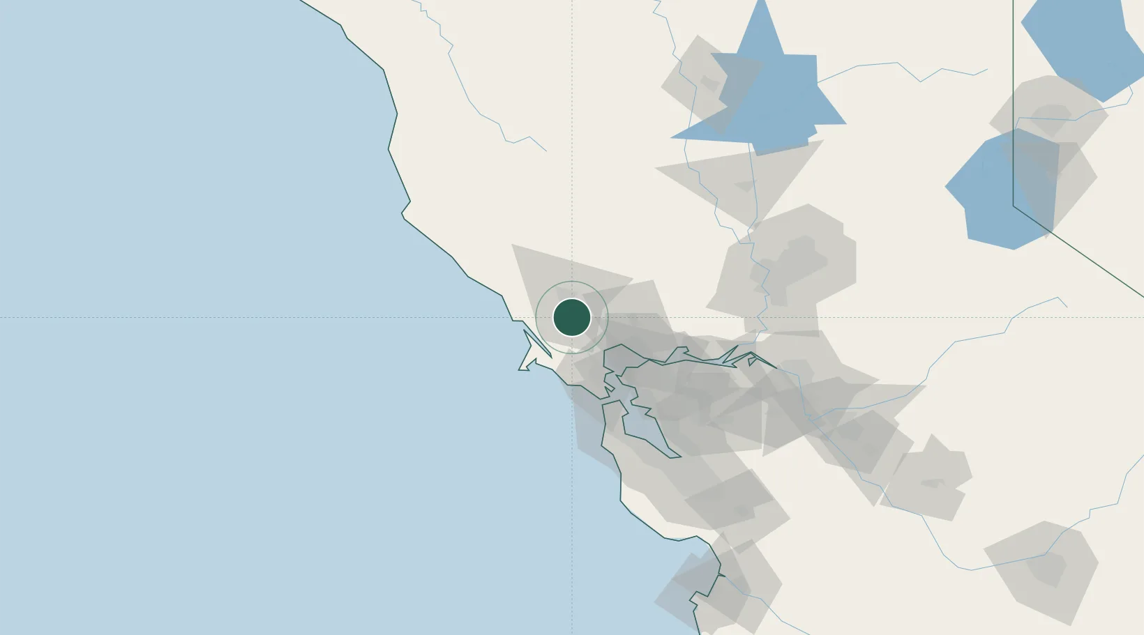
Nearby Logistics Neighbours

Cities
  1. 1Penngrove6 km
  2. 2Kenwood17 km
  3. 3Graton20 km
  4. 4Forestville23 km
  5. 5Vineburg24 km
Nearest neighbours — logibook spatial index (haversine) over the source coordinates
Ports
  1. 1Bodega Bay31 km
  2. 2Pinole Point44 km
  3. 3Mare Island45 km
  4. 4Point San Pablo45 km
  5. 5South Vallejo47 km
Nearest neighbours — logibook spatial index (haversine) over the source coordinates
Airports
  1. 1Charles M. Schulz Sonoma County Airport24 km
  2. 2Buchanan Field67 km
  3. 3Travis Air Force Base68 km
  4. 4San Francisco Bay Oakland International Airport79 km
  5. 5San Francisco International Airport83 km
Nearest neighbours — logibook spatial index (haversine) over the source coordinates
Trade Zones
  1. 1FTZ No. 003 San Francisco64 km
  2. 2FTZ No. 056 Oakland68 km
  3. 3FTZ No. 143 West Sacramento107 km
  4. 4FTZ No. 231 Stockton127 km
  5. 5FTZ No. 018 San Jose130 km
Nearest neighbours — logibook spatial index (haversine) over the source coordinates
DatabookThe Record of Consolidated Knowledge
United States beyond logistics?
Browse databook

All Sources

LocationsUN/LOCODE
UN/LOCODE — free
LocationsGeoNames
CC BY 4.0
Portsthe NGA World Port Index
Public domain (US gov)
AirportsOurAirports
Public domain
Trade Zonesthe World Bank SEZ database
CC BY 4.0
Trade ZonesOpen Zone Map
CC BY
← United States locations