Large airport · United States
San Francisco International AirportKSFO
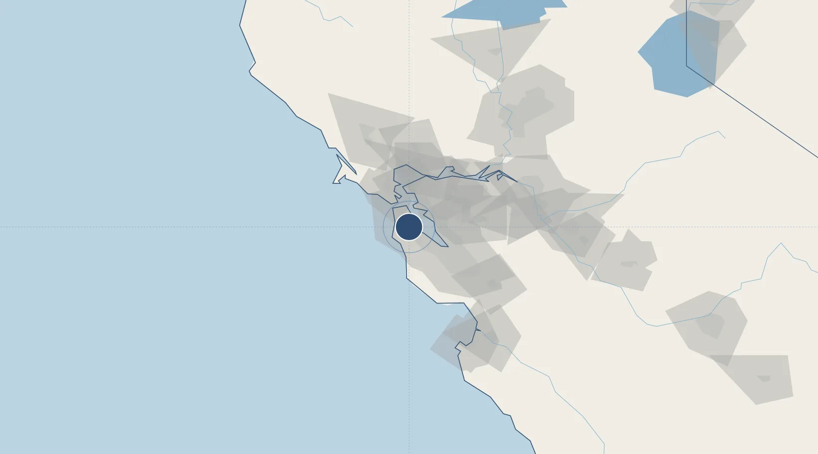
37.6198°, -122.3748°
11,870 ft
Longest runway
4
Runways
13 ft
Elevation
Runway & Layout

Radio Frequencies
ATIS
113.7 MHz
AWOS
118.05 MHz
AWOS 1
TWR
120.5 MHz
GND
121.8 MHz
CLD
118.2 MHz
CLNC DEL
APP
128.325 MHz
NORCAL APP
APP
133.95 MHz
NORCAL APP SECONDARY
APP
134.5 MHz
NORCAL APP INITIAL CONTACT
DEP
120.9 MHz
NORCAL DEP NW-EAST
DEP
135.1 MHz
NORCAL DEP SE-WEST
MISC
34.5 MHz
USCG
UNIC
122.95 MHz
UNICOM
Navaids
SF NDB Brijj 379 kHz
SFO VOR-DME San Francisco 115.80 MHz
Runways · 4
| Runway | Dimensions | Surface | True heading | Lit |
|---|---|---|---|---|
| 10L/28R | 11,870 × 200ft | Asphalt | 118° | ✓ |
| 10R/28L | 11,381 × 200ft | Asphalt | 118° | ✓ |
| 01R/19L | 8,650 × 200ft | Asphalt | 028° | ✓ |
| 01L/19R | 7,650 × 200ft | Asphalt | 028° | ✓ |
Airport Specifications
IATA code
SFO
ICAO code
KSFO
Airport class
Large airport
Scheduled service
Yes
Runway surface
Asphalt
Served city
San Francisco
Location
Nearby Logistics Neighbours
Airports
Cities
- 1Moss Beach16 km
- 2San Francisco16 km
- 3Alameda20 km
- 4Oakland22 km
- 5Woodside23 km
Ports
- 1Redwood City18 km
- 2Alameda21 km
- 3Oakland22 km
- 4San Francisco22 km
- 5Sausalito27 km
Trade Zones
- 1FTZ No. 003 San Francisco20 km
- 2FTZ No. 056 Oakland23 km
- 3FTZ No. 018 San Jose53 km
- 4FTZ No. 231 Stockton99 km
- 5FTZ No. 143 West Sacramento130 km
DatabookThe Record of Consolidated Knowledge
United States beyond logistics?