UN/LOCODE hub · United States
USDHB
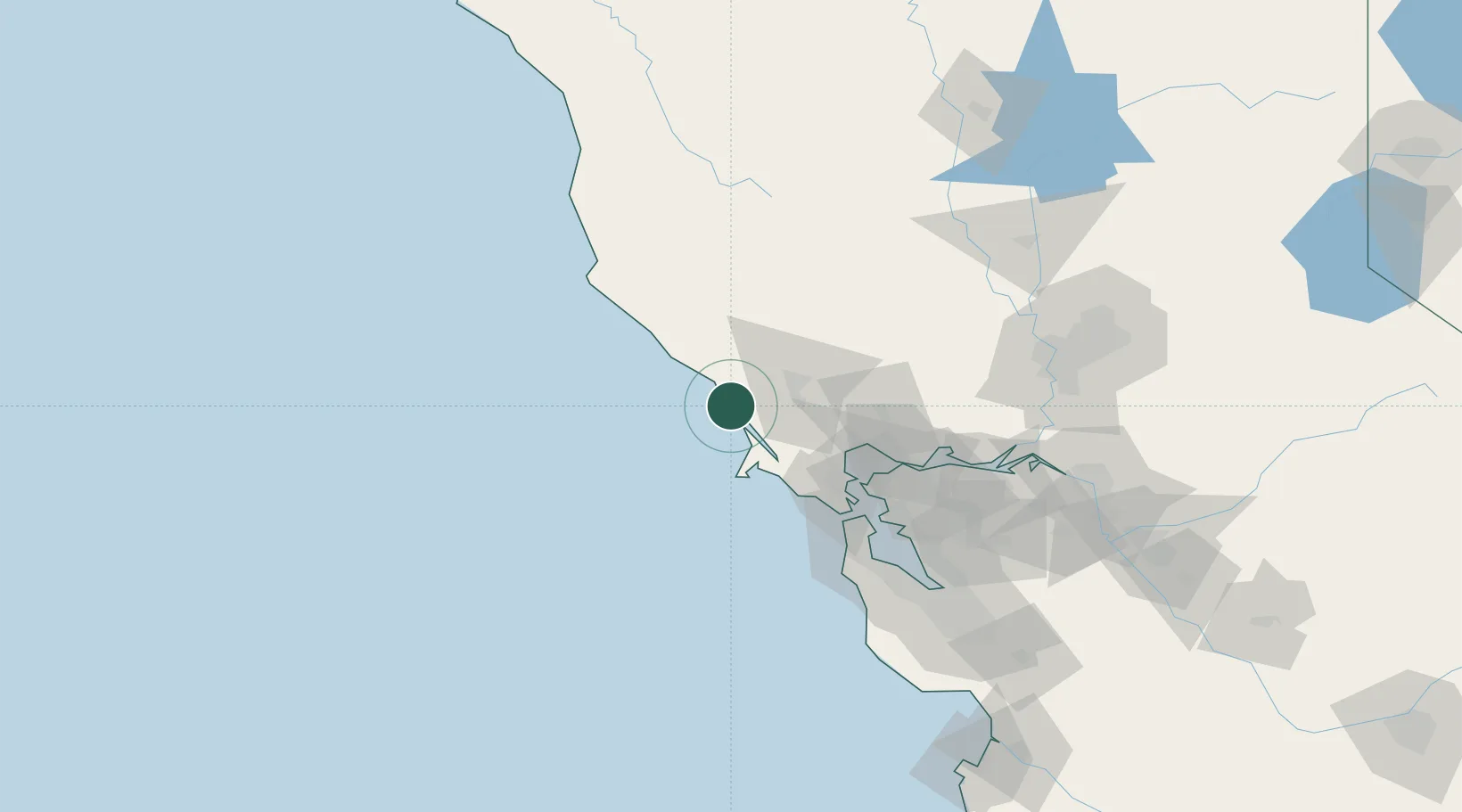
Bodega Bay
38.3333°, -123.0500°
1,077
Population
2
Transport functions
Transport Functions
Port
Road
Hub Profile
Place type
Populated place
Region
California
Population
1,077
Time zone
America/Los_Angeles
Elevation
18 m
Location
Nearby Logistics Neighbours
Cities
- 1Guerneville19 km
- 2Graton20 km
- 3Forestville21 km
- 4Marshall25 km
- 5Cotati31 km
Ports
- 1Point San Pablo68 km
- 2Pinole Point69 km
- 3Sausalito73 km
- 4Mare Island73 km
- 5South Vallejo75 km
Airports
Trade Zones
- 1FTZ No. 003 San Francisco83 km
- 2FTZ No. 056 Oakland90 km
- 3FTZ No. 143 West Sacramento136 km
- 4FTZ No. 018 San Jose151 km
- 5FTZ No. 231 Stockton157 km
DatabookThe Record of Consolidated Knowledge
United States beyond logistics?