UN/LOCODE hub · United States
USFO9
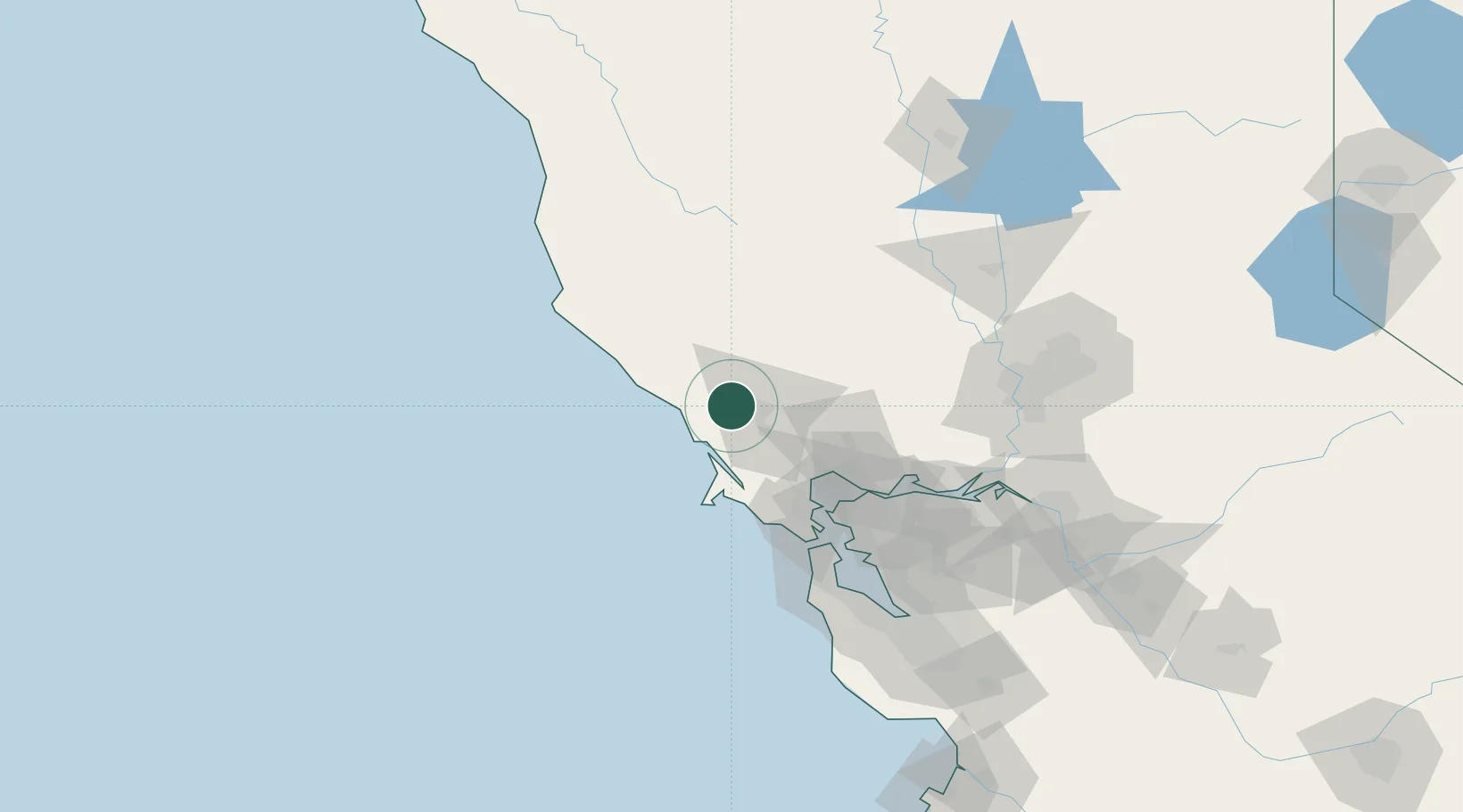
Forestville
38.4667°, -122.8833°
3,293
Population
2
Transport functions
Transport Functions
Port
Road
Hub Profile
Place type
Populated place
Region
California
Population
3,293
Time zone
America/Los_Angeles
Elevation
52 m
Location
Nearby Logistics Neighbours
Cities
- 1Graton4 km
- 2Guerneville10 km
- 3Bodega Bay21 km
- 4Cotati23 km
- 5Geyserville26 km
Ports
- 1Bodega Bay21 km
- 2Pinole Point67 km
- 3Mare Island68 km
- 4Point San Pablo68 km
- 5South Vallejo70 km
Airports
Trade Zones
- 1FTZ No. 003 San Francisco86 km
- 2FTZ No. 056 Oakland91 km
- 3FTZ No. 143 West Sacramento119 km
- 4FTZ No. 231 Stockton148 km
- 5FTZ No. 018 San Jose153 km
DatabookThe Record of Consolidated Knowledge
United States beyond logistics?