Medium airport · United States
Buchanan FieldKCCR
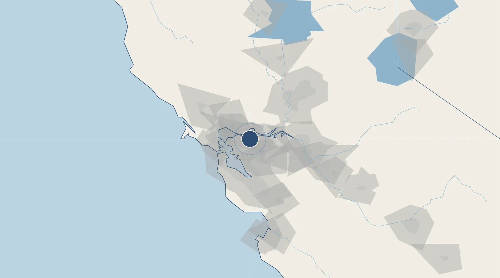
37.9897°, -122.0570°
5,001 ft
Longest runway
4
Runways
26 ft
Elevation
Runway & Layout

Radio Frequencies
ATIS
124.7 MHz
TWR
119.7 MHz
CONCORD TWR
GND
121.9 MHz
CLD
118.75 MHz
CLNC DEL
CTAF
119.7 MHz
A/D
119.9 MHz
TRAVIS APP/DEP
UNIC
122.95 MHz
UNICOM
Runways · 4
| Runway | Dimensions | Surface | True heading | Lit |
|---|---|---|---|---|
| 01L/19R | 5,001 × 150ft | Asphalt / concrete | 024° | ✓ |
| 14L/32R | 4,602 × 150ft | Asphalt / concrete | 154° | ✓ |
| 14R/32L | 2,798 × 75ft | Asphalt | 154° | — |
| 01R/19L | 2,770 × 75ft | Asphalt | 024° | ✓ |
Airport Specifications
IATA code
CCR
ICAO code
KCCR
Airport class
Medium airport
Scheduled service
Yes
Runway surface
Asphalt / concrete
Served city
Concord
Location
Nearby Logistics Neighbours
Airports
Cities
- 1Pacheco1 km
- 2Port Chicago8 km
- 3Bay Point10 km
- 4Benicia11 km
- 5Clayton13 km
Ports
- 1Martinez8 km
- 2Benicia11 km
- 3Port Costa13 km
- 4Crockett16 km
- 5Pittsburg16 km
Trade Zones
- 1FTZ No. 056 Oakland28 km
- 2FTZ No. 003 San Francisco37 km
- 3FTZ No. 231 Stockton64 km
- 4FTZ No. 018 San Jose74 km
- 5FTZ No. 143 West Sacramento81 km
DatabookThe Record of Consolidated Knowledge
United States beyond logistics?