Channel & Berth Profile
Pilotage, Tugs & Services
Pilotage compulsoryYES
Pilotage availableYES
Facilities & Capabilities
Container—
Ro-Ro—
Liquid bulk—
Dry bulk—
Oil terminal—
Break bulk—
Dry dock—
Repairs—
Bunkering—
Rail link—
Dangerous cargo—
ISPS security—
Harbour Specifications
Harbour size
Very Small
Harbour type
Coastal (Natural)
Shelter
Good
Water body
North Pacific Ocean
Tidal range
1.2 m
Pilotage
Yes
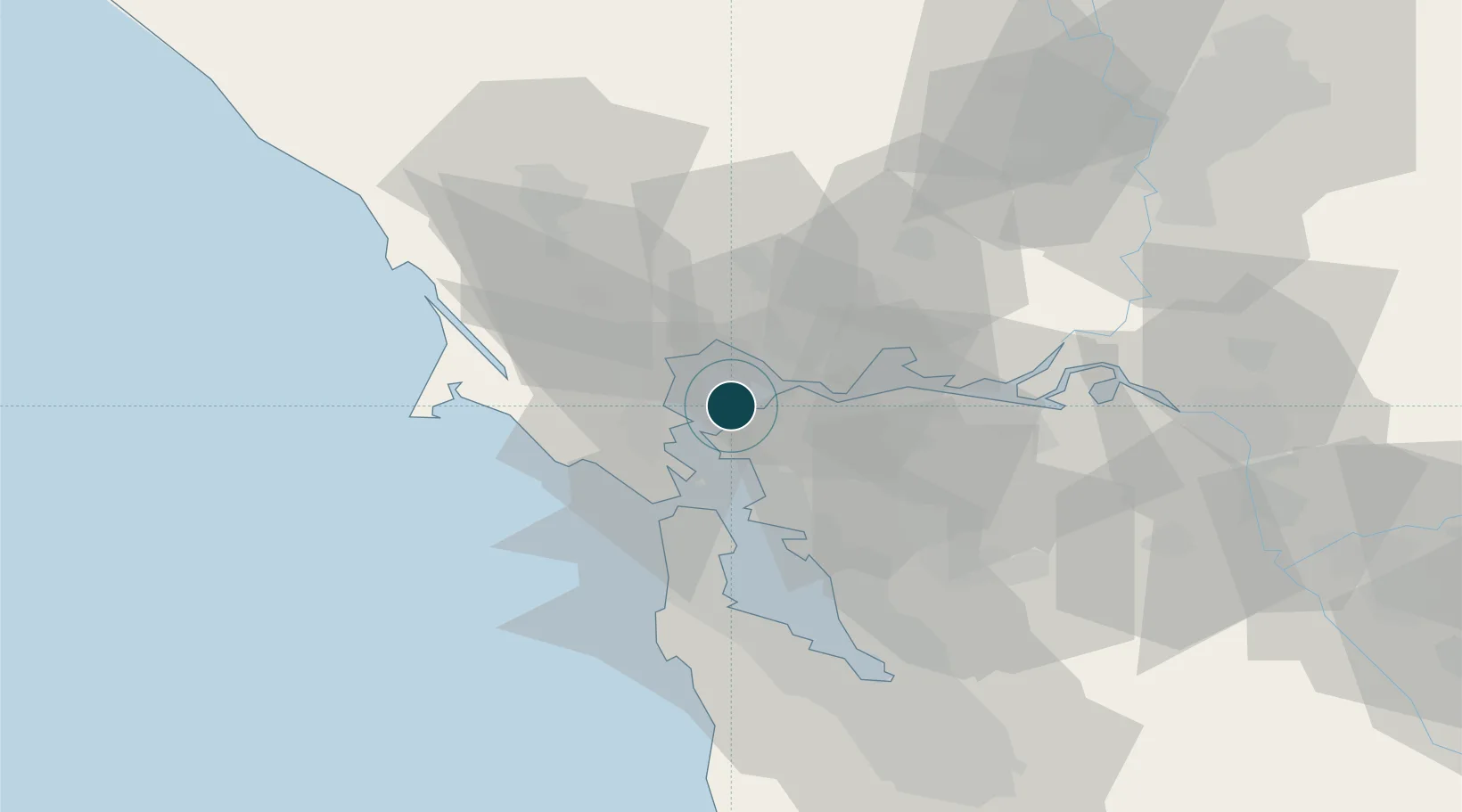
Location
Nearby Logistics Neighbours
Ports
- 1Point San Pablo8 km
- 2Oleum10 km
- 3Point Richmond11 km
- 4South Vallejo13 km
- 5Mare Island13 km
Cities
- 1Hercules9 km
- 2Rodeo10 km
- 3Oleum12 km
- 4Richmond14 km
- 5Kensington16 km
Airports
Trade Zones
- 1FTZ No. 003 San Francisco25 km
- 2FTZ No. 056 Oakland25 km
- 3FTZ No. 018 San Jose87 km
- 4FTZ No. 231 Stockton92 km
- 5FTZ No. 143 West Sacramento97 km
DatabookThe Record of Consolidated Knowledge
United States beyond logistics?