UN/LOCODE hub · United States
USGUJ
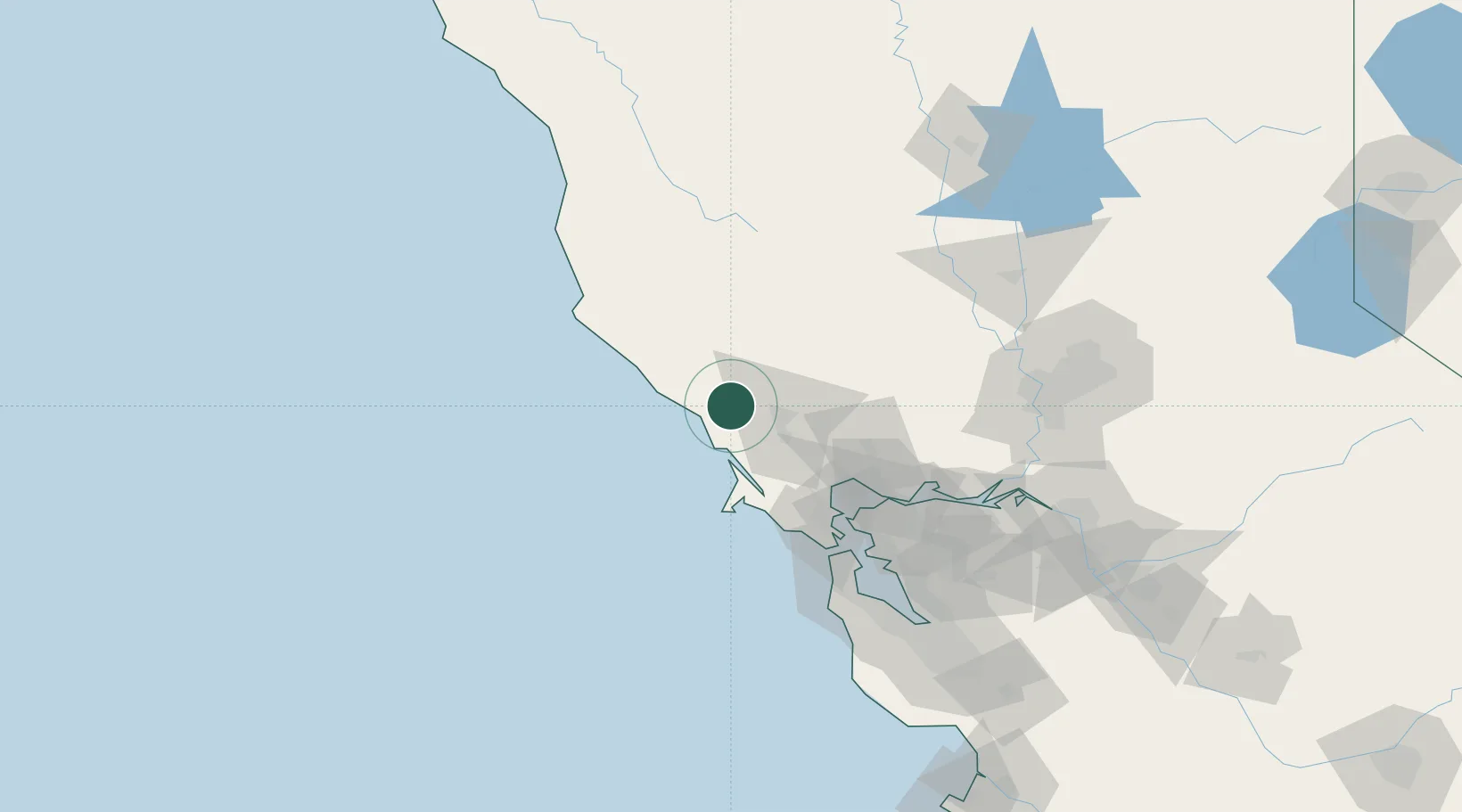
Guerneville
38.5000°, -122.9833°
4,534
Population
2
Transport functions
Transport Functions
Road
Multimodal
Hub Profile
Place type
Populated place
Region
California
Population
4,534
Time zone
America/Los_Angeles
Elevation
18 m
Location
Nearby Logistics Neighbours
Cities
- 1Forestville10 km
- 2Graton13 km
- 3Bodega Bay19 km
- 4Geyserville23 km
- 5Cotati32 km
Ports
- 1Bodega Bay19 km
- 2Pinole Point76 km
- 3Point San Pablo76 km
- 4Mare Island77 km
- 5South Vallejo79 km
Airports
Trade Zones
- 1FTZ No. 003 San Francisco94 km
- 2FTZ No. 056 Oakland99 km
- 3FTZ No. 143 West Sacramento127 km
- 4FTZ No. 231 Stockton157 km
- 5FTZ No. 018 San Jose161 km
DatabookThe Record of Consolidated Knowledge
United States beyond logistics?