Medium airport · United States

Charles M. Schulz Sonoma County AirportKSTS

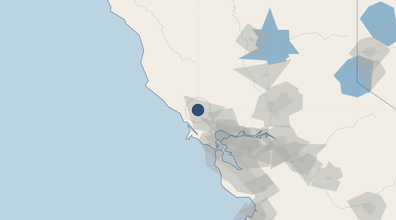
38.5090°, -122.8130°
6,000 ft
Longest runway
2
Runways
128 ft
Elevation

Runway & Layout

Charles M. Schulz Sonoma County Airport runway & taxiway layout
Runway & taxiway layout — OpenStreetMap (ODbL) / OurAirports

Radio Frequencies

ATIS
120.55 MHz
TWR
118.5 MHz
SANTA ROSA TWR
GND
121.9 MHz
CTAF
118.5 MHz
A/D
127.8 MHz
NORCAL APP/DEP
UNIC
122.95 MHz
UNICOM
OurAirports

Runways · 2

RunwayDimensions SurfaceTrue headingLit
14/32 6,000 × 150ft Asphalt 157°
02/20 5,202 × 100ft Asphalt 029°
OurAirports

Airport Specifications

IATA code
STS
OurAirports
ICAO code
KSTS
OurAirports
Airport class
Medium airport
OurAirports
Scheduled service
Yes
OurAirports
Runway surface
Asphalt
OurAirports
Served city
Santa Rosa
OurAirports

Location

Location of KSTS
Natural Earth 10m (public domain) · California · KSTS · 38.51, -122.81GoogleOSMYandex

Nearby Logistics Neighbours

Airports
  1. 1Ukiah Municipal Airport76 km
  2. 2Travis Air Force Base82 km
  3. 3Buchanan Field88 km
  4. 4San Francisco Bay Oakland International Airport102 km
  5. 5San Francisco International Airport106 km
Nearest neighbours — logibook spatial index (haversine) over the source coordinates
Cities
  1. 1Forestville8 km
  2. 2Graton10 km
  3. 3Guerneville15 km
  4. 4Geyserville23 km
  5. 5Cotati24 km
Nearest neighbours — logibook spatial index (haversine) over the source coordinates
Ports
  1. 1Bodega Bay28 km
  2. 2Mare Island66 km
  3. 3Pinole Point67 km
  4. 4South Vallejo68 km
  5. 5Point San Pablo69 km
Nearest neighbours — logibook spatial index (haversine) over the source coordinates
Trade Zones
  1. 1FTZ No. 003 San Francisco87 km
  2. 2FTZ No. 056 Oakland91 km
  3. 3FTZ No. 143 West Sacramento112 km
  4. 4FTZ No. 231 Stockton144 km
  5. 5FTZ No. 018 San Jose154 km
Nearest neighbours — logibook spatial index (haversine) over the source coordinates
DatabookThe Record of Consolidated Knowledge
United States beyond logistics?
Browse databook

All Sources

AirportsOurAirports
Public domain
Portsthe NGA World Port Index
Public domain (US gov)
LocationsUN/LOCODE
UN/LOCODE — free
Trade Zonesthe World Bank SEZ database
CC BY 4.0
Trade ZonesOpen Zone Map
CC BY
InfrastructureOpenStreetMap
ODbL 1.0
← United States airports